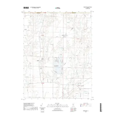
2018 Map of Prairietown
USGS Topo · Published 2018About this map
Holiday Lake and the surrounding residential developments of Holiday Shores serve as the modern centerpiece for this section of Madison County. The landscape is deeply carved by drainage systems including Paddock Cr, Indian Cr, and Joulters Cr, which flow through a grid of agricultural land and small crossroads settlements. Genealogists will find a high density of burial sites and family plots, from the Randle Family Cem and Paddock Family Cem to established parish grounds like the Saint Peters Lutheran Cem in Prairietown and the Zion Lutheran Cem near Carpenter. This 2018 survey illustrates the persistent rural character of the region, where historic hamlets like Midway and Dorsey remain connected by an extensive network of country roads such as Renken Rd and Seiler Rd.
Find a feature on this map
67 named features on this map. Tap any name to fly to it.
Don’t see what you’re looking for? This feature index may not catch every label — zoom into the map to look around manually.
Map Details
Editions of this 2018 Prairietown Map
This is the sole edition of this map. No revisions or reprints were ever made.
Other maps of this area

1912 · Gillespie
USGS Topo · 1:62,500

1915 · Gillespie
USGS Topo · 1:62,500

1925 · Brighton
USGS Topo · 1:62,500

1927 · Alton
USGS Topo · 1:62,500

1927 · Edwardsville
USGS Topo · 1:62,500

1928 · Brighton
USGS Topo · 1:62,500

1932 · Edwardsville
USGS Topo · 1:62,500

1934 · Alton
USGS Topo · 1:62,500

1948 · Quincy
USGS Topo · 1:250,000

1948 · Wood River
USGS Topo · 1:24,000