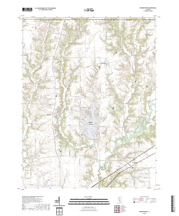
2024 Map of Prairietown
USGS Topo · Published 2024About this map
Madison County land north of Edwardsville and east of Bethalto is defined here by the winding course of Cahokia Creek and its many tributaries. The landscape is dotted with ancestral burial grounds, including the Zion Lutheran Cem and Saint John United Church of Christ Cem, pointing to the deep-rooted immigrant and agrarian communities that shaped this region. Residential clusters at Prairietown and the waterfront development at Holiday Shores contrast with the rural expanses near Dorsey and Midway.
Find a feature on this map
103 named features on this map. Tap any name to fly to it.
Don’t see what you’re looking for? This feature index may not catch every label — zoom into the map to look around manually.
Map Details
Editions of this 2024 Prairietown Map
This is the sole edition of this map. No revisions or reprints were ever made.
Other maps of this area

1912 · Gillespie
USGS Topo · 1:62,500

1915 · Gillespie
USGS Topo · 1:62,500

1925 · Brighton
USGS Topo · 1:62,500

1927 · Alton
USGS Topo · 1:62,500

1927 · Edwardsville
USGS Topo · 1:62,500

1928 · Brighton
USGS Topo · 1:62,500

1932 · Edwardsville
USGS Topo · 1:62,500

1934 · Alton
USGS Topo · 1:62,500

1948 · Quincy
USGS Topo · 1:250,000

1948 · Wood River
USGS Topo · 1:24,000