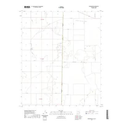
2023 Map of Prairieview NE
USGS Topo · Published 2023About this map
Sulphur Springs Draw cuts across the High Plains at the New Mexico-Texas state line, where Lea and Yoakum counties meet. This ranching landscape is defined by its rectilinear grid of section lines and range markers, including t12s r38e, t13s r38e, and t14s r38e. For those researching local family history, the map provides the specific location of Murphys Chapel Cem situated along Murphy Chapel Rd. The transport network reflects the area's rural character, anchored by throughways such as Old Lovington Rd and the uniquely named Ashburn Pavement. The terrain is characterized by subtle depressions and drainage patterns typical of the Llano Estacado, with numerous county roads like Koch Rd providing access to remote sections of the borderlands.
Find a feature on this map
25 named features on this map. Tap any name to fly to it.
Don’t see what you’re looking for? This feature index may not catch every label — zoom into the map to look around manually.
Map Details
Editions of this 2023 Prairieview NE Map
This is the sole edition of this map. No revisions or reprints were ever made.
Other maps of this area

1954 · Brownfield
USGS Topo · 1:250,000

1958 · Brownfield
USGS Topo · 1:250,000

1962 · Brownfield
USGS Topo · 1:250,000

1970 · Prairieview
USGS Topo · 1:24,000

1970 · Prairieview NE
USGS Topo · 1:24,000

1970 · Prairieview NW
USGS Topo · 1:24,000

1970 · Gladiola
USGS Topo · 1:24,000

1970 · Bronco
USGS Topo · 1:24,000

1970 · Prairieview SE
USGS Topo · 1:24,000

1971 · Plains NW
USGS Topo · 1:24,000