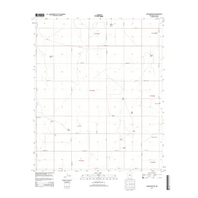
2013 Map of Prairieview NW
USGS Topo · Published 2013About this map
The high plains of eastern Lea County are defined here by a extensive network of energy extraction and livestock infrastructure. The landscape is dominated by the Gladiola Southwest Oil Field and King Oil Field, showing the intensive development of the Permian Basin. Beneath the section lines of the Public Land Survey System, a recurring pattern of named windmills—including the Magnus Windmill, Fritz Windmill, and South Mizell Windmill—points to the essential role of groundwater in this arid environment. Genealogical interest is centered on the King Cem and the location of Murphy's Chapel along the road network. The terrain is largely level, punctuated only by the subtle depression of Eightmile Draw as it cuts across the northwestern townships. This survey illustrates the convergence of traditional ranching and modern industrial oil production in the early 21st century.
Find a feature on this map
47 named features on this map. Tap any name to fly to it.
Don’t see what you’re looking for? This feature index may not catch every label — zoom into the map to look around manually.
Map Details
Editions of this 2013 Prairieview NW Map
This is the sole edition of this map. No revisions or reprints were ever made.
Other maps of this area

1954 · Brownfield
USGS Topo · 1:250,000

1958 · Brownfield
USGS Topo · 1:250,000

1962 · Brownfield
USGS Topo · 1:250,000

1970 · Prairieview
USGS Topo · 1:24,000

1970 · Prairieview NE
USGS Topo · 1:24,000

1970 · Prairieview NW
USGS Topo · 1:24,000

1970 · Gladiola
USGS Topo · 1:24,000

1970 · Hillburn City
USGS Topo · 1:24,000

1970 · Tatum South
USGS Topo · 1:24,000

1970 · Bronco
USGS Topo · 1:24,000