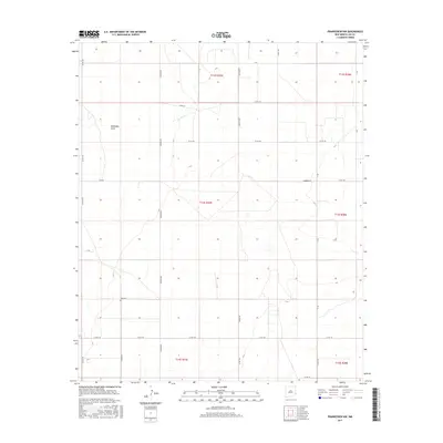
2017 Map of Prairieview NW
USGS Topo · Published 2017About this map
Eightmile Draw carves a subtle path across this high plains landscape of Lea County, marking the most significant topographical variation in an otherwise geometric grid of section lines and range boundaries. This 2017 survey reveals the organized land management of the Llano Estacado, where long county roads like Simpson Rd and Gladiola Rd define the transport network between isolated agricultural holdings.
Find a feature on this map
31 named features on this map. Tap any name to fly to it.
Don’t see what you’re looking for? This feature index may not catch every label — zoom into the map to look around manually.
Map Details
Editions of this 2017 Prairieview NW Map
This is the sole edition of this map. No revisions or reprints were ever made.
Other maps of this area

1954 · Brownfield
USGS Topo · 1:250,000

1958 · Brownfield
USGS Topo · 1:250,000

1962 · Brownfield
USGS Topo · 1:250,000

1970 · Prairieview
USGS Topo · 1:24,000

1970 · Prairieview NE
USGS Topo · 1:24,000

1970 · Prairieview NW
USGS Topo · 1:24,000

1970 · Gladiola
USGS Topo · 1:24,000

1970 · Hillburn City
USGS Topo · 1:24,000

1970 · Tatum South
USGS Topo · 1:24,000

1970 · Bronco
USGS Topo · 1:24,000