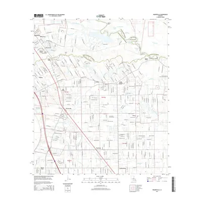
2015 Map of Prairieville
USGS Topo · Published 2015About this map
Bayou Manchac snakes along the boundary between East Baton Rouge and Ascension Parish, defining a landscape where historic watercourses meet modern suburban expansion. The community of Prairieville serves as a central hub, surrounded by a dense network of smaller settlements such as Hope Villa, Duplessis, and Little Prairie. This 2015 survey reveals a terrain crisscrossed by numerous bayous, including Grand Goudine Bayou and Black Bayou, which dictate the drainage and development patterns of the region. Genealogists will find significant value in the documentation of local burial grounds like Hillman Cem, Ficklin Cem, and the Mount Zion Cemeteries near the eastern edge. Further north, the Amite River meanders toward Mallets Bluff, creating a complex series of oxbows and lakes including Horseshoe Lake and Redman Lake, illustrating the persistent influence of the river system on the local geography.
Find a feature on this map
62 named features on this map. Tap any name to fly to it.
Don’t see what you’re looking for? This feature index may not catch every label — zoom into the map to look around manually.
Map Details
Editions of this 2015 Prairieville Map
This is the sole edition of this map. No revisions or reprints were ever made.
Other maps of this area

1892 · Donaldsonville
USGS Topo · 1:62,500

1908 · Baton Rouge
USGS Topo · 1:62,500

1934 · Denham Springs
USGS Topo · 1:62,500

1935 · Gonzales
USGS Topo · 1:31,680

1936 · White Castle
USGS Topo · 1:62,500

1939 · Denham Springs
USGS Topo · 1:62,500

1939 · Baton Rouge
USGS Topo · 1:62,500

1939 · Donaldsonville
USGS Topo · 1:62,500

1947 · Sorrento
USGS Topo · 1:31,680

1953 · Walker
USGS Topo · 1:24,000