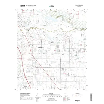
2018 Map of Prairieville
USGS Topo · Published 2018About this map
Bayou Manchac snakes along the boundary between East Baton Rouge, Livingston, and Ascension Parishes, anchoring a landscape defined by an intricate network of waterways and evolving communities. The residential growth of Prairieville and nearby Oak Grove is clear, with dense suburban street grids expanding into former agricultural lands. In the south, the transition toward the wetlands of Saint Amant Swamp and Bluff Swamp is marked by the winding courses of Grand Goudine Bayou and Bayou Narcisse. Genealogists will find significant value in the mapped locations of local burial grounds, including the Hillman Cem and the Mount Zion Cemeteries. The infrastructure of the era is represented by the aviation facilities at Capozzoli Airport and the historical thoroughfare of Old Dutchtown Ave, which reflects the long-standing settlement patterns of communities like Dutch Town and Duplessis.
Find a feature on this map
47 named features on this map. Tap any name to fly to it.
Don’t see what you’re looking for? This feature index may not catch every label — zoom into the map to look around manually.
Map Details
Editions of this 2018 Prairieville Map
This is the sole edition of this map. No revisions or reprints were ever made.
Other maps of this area

1892 · Donaldsonville
USGS Topo · 1:62,500

1908 · Baton Rouge
USGS Topo · 1:62,500

1934 · Denham Springs
USGS Topo · 1:62,500

1935 · Gonzales
USGS Topo · 1:31,680

1936 · White Castle
USGS Topo · 1:62,500

1939 · Denham Springs
USGS Topo · 1:62,500

1939 · Baton Rouge
USGS Topo · 1:62,500

1939 · Donaldsonville
USGS Topo · 1:62,500

1947 · Sorrento
USGS Topo · 1:31,680

1953 · Walker
USGS Topo · 1:24,000