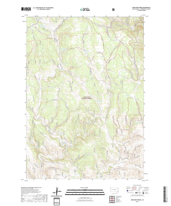
2021 Map of Preacher Spring
USGS Topo · Published 2021About this map
Black Hills National Forest land defines this section of Pennington County, where a complex network of springs and reservoirs supports the high-altitude landscape. Named water sources such as Preacher Spring, Briggs Spring, and Howell Spring are scattered across the terrain, indicating the historical importance of water management in this arid region. The topography is marked by significant formations like Dumbuk Ridge and deep cuts like Gillette Canyon and Boles Canyon, creating a varied environment of draws and ridges.
Find a feature on this map
109 named features on this map. Tap any name to fly to it.
Don’t see what you’re looking for? This feature index may not catch every label — zoom into the map to look around manually.
Map Details
Editions of this 2021 Preacher Spring Map
This is the sole edition of this map. No revisions or reprints were ever made.
Other maps of this area

1894 · Deadwood
USGS Topo · 1:125,000

1896 · Harney Peak
USGS Topo · 1:125,000

1898 · Sundance
USGS Topo · 1:125,000

1899 · Newcastle
USGS Topo · 1:125,000

1901 · Harney Peak
USGS Topo · 1:125,000

1901 · Deadwood
USGS Topo · 1:125,000

1901 · Newcastle
USGS Topo · 1:125,000

1902 · Sundance
USGS Topo · 1:125,000

1916 · Deadwood
USGS Topo · 1:125,000

1951 · Fanny Peak
USGS Topo · 1:24,000