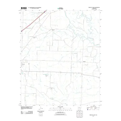
2011 Map of Prescott East
USGS Topo · Published 2011About this map
Providence Cemetery, Washington Hill Cemetery, and Buchanan Cemetery are situated among the creek-fed lowlands of Nevada County, documenting the local family heritage and rural settlement patterns of the early twenty-first century. This landscape is defined by its complex drainage network, where the Little Missouri River and Terre Rouge Creek dictate the contours of the land. The eastern edge of Prescott is visible near Kizer Field, giving way to the smaller communities of Boughton and Redland. Infrastructure such as the Heathlake Reservoir, held by the Heathlake Dam, suggests a focus on local water management and recreation within the watershed of Sewer Creek and Cox Creek. The map provides a detailed record of the rural road network, including the specifically named Plantation Rd and Beirne Bottom Rd, which reflect the historic agricultural uses of the river bottomlands.
Find a feature on this map
67 named features on this map. Tap any name to fly to it.
Don’t see what you’re looking for? This feature index may not catch every label — zoom into the map to look around manually.
Map Details
Editions of this 2011 Prescott East Map
This is the sole edition of this map. No revisions or reprints were ever made.
Other maps of this area

1901 · Gurdon
USGS Topo · 1:125,000

1953 · El Dorado
USGS Topo · 1:250,000

1957 · El Dorado
USGS Topo · 1:250,000

1958 · El Dorado
USGS Topo · 1:250,000

1960 · El Dorado
USGS Topo · 1:250,000

1970 · Whelen Springs
USGS Topo · 1:24,000

1970 · Prescott East
USGS Topo · 1:24,000
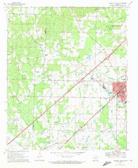
1970 · Prescott West
USGS Topo · 1:24,000
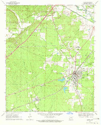
1970 · Gurdon
USGS Topo · 1:24,000
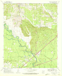
1970 · Okolona South
USGS Topo · 1:24,000