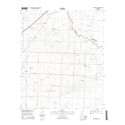
2014 Map of Prescott East
USGS Topo · Published 2014About this map
Boughton and the eastern fringes of Prescott anchor this 2014 survey of Nevada County, where the landscape transitions into the drainage basins of the Little Missouri River. The map reveals a rural geography defined by its cemeteries, including Providence Cem and Washington Hill Cem, which serve as vital landmarks for genealogists tracing families in these small communities. The terrain is marked by a complex network of waterways such as Terre Rouge Cr and Garland Cr, alongside man-made features like the Heathlake Reservoir. The area maintains its logistical importance through the presence of Kizer Field Airport and the heavy transit corridor of Us-67. This modern digital survey provides a clear view of the county's evolved road system and the persistent rural settlements like Redland that have shaped this portion of Arkansas over generations.
Find a feature on this map
77 named features on this map. Tap any name to fly to it.
Don’t see what you’re looking for? This feature index may not catch every label — zoom into the map to look around manually.
Map Details
Editions of this 2014 Prescott East Map
This is the sole edition of this map. No revisions or reprints were ever made.
Other maps of this area

1901 · Gurdon
USGS Topo · 1:125,000

1953 · El Dorado
USGS Topo · 1:250,000

1957 · El Dorado
USGS Topo · 1:250,000

1958 · El Dorado
USGS Topo · 1:250,000

1960 · El Dorado
USGS Topo · 1:250,000

1970 · Whelen Springs
USGS Topo · 1:24,000

1970 · Prescott East
USGS Topo · 1:24,000
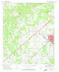
1970 · Prescott West
USGS Topo · 1:24,000
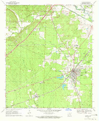
1970 · Gurdon
USGS Topo · 1:24,000
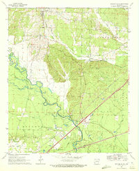
1970 · Okolona South
USGS Topo · 1:24,000