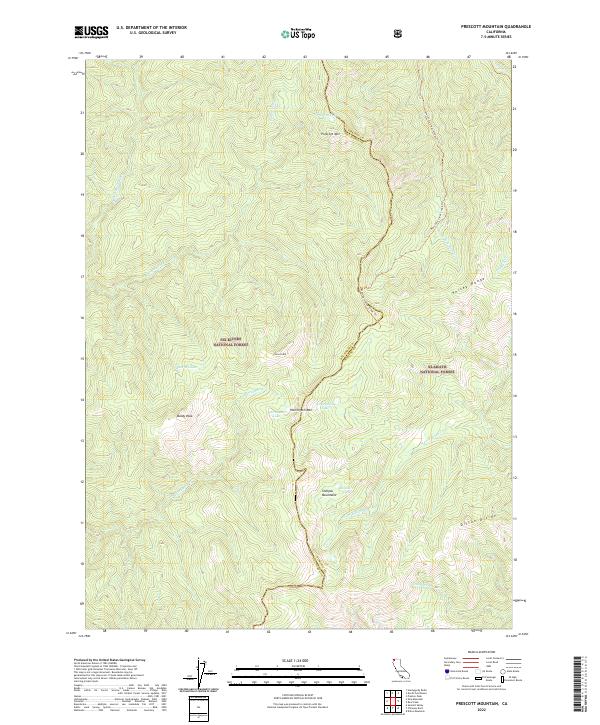
2022 Map of Prescott Mountain
USGS Topo · Published 2022About this map
The Smith Wild and Scenic River defines the western reaches of this mountainous terrain at the boundary of Del Norte and Siskiyou Counties. This high-altitude landscape is primarily managed by the Six Rivers National Forest and Klamath National Forest, where steep ridgelines like the Kelsey Range and peaks such as Prescott Mtn dominate the topography. The map illustrates a wilderness characterized by isolated alpine water bodies, including Solitaire Lake and Harrington Lake, which sit tucked beneath high divides.
Find a feature on this map
29 named features on this map. Tap any name to fly to it.
Don’t see what you’re looking for? This feature index may not catch every label — zoom into the map to look around manually.
Map Details
Editions of this 2022 Prescott Mountain Map
This is the sole edition of this map. No revisions or reprints were ever made.
Other maps of this area

1922 · Preston Peak
USGS Topo · 1:125,000

1945 · Ship Mountain
USGS Topo · 1:62,500

1945 · Gasquet
USGS Topo · 1:62,500

1948 · Weed
USGS Topo · 1:250,000

1950 · Weed
USGS Topo · 1:250,000

1951 · Gasquet
USGS Topo · 1:62,500

1952 · Ship Mountain
USGS Topo · 1:62,500

1955 · Dillon Mtn
USGS Topo · 1:62,500

1956 · Preston Peak
USGS Topo · 1:62,500

1958 · Weed
USGS Topo · 1:250,000