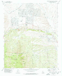
1973 Map of Prescott Valley South
USGS Topo · Published 1977About this map
Prescott Valley appears here in the early 1970s, showcasing a burgeoning suburban layout defined by streets like Spouse Drive and Navajo Drive north of the Atchison Topeka and Santa Fe rail line. This residential expansion contrasts sharply with the industrial and natural landscapes just to the south. The center of the map is dominated by the Doodlebug Diggings along Lynx Creek, a landscape of gravel pits and tailings that points to the area's significant placer mining history.
Find a feature on this map
65 named features on this map. Tap any name to fly to it.
Don’t see what you’re looking for? This feature index may not catch every label — zoom into the map to look around manually.
Map Details
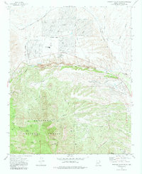
Editions of this 1973 Prescott Valley South Map
2 editions found
Other maps of this area

1887 · Prescott
USGS Topo · 1:250,000

1892 · Prescott
USGS Topo · 1:250,000

1903 · Bradshaw Mountains
USGS Topo · 1:125,000

1905 · Jerome
USGS Topo · 1:125,000

1944 · Mingus Mountain
USGS Topo · 1:62,500

1947 · Mingus Mtn
USGS Topo · 1:62,500

1947 · Mayer
USGS Topo · 1:62,500

1947 · Mt. Union
USGS Topo · 1:62,500

1947 · Prescott
USGS Topo · 1:62,500

1948 · Mt. Union
USGS Topo · 1:63,360
Featured Places
- Prescott Valley, AZ
- Dewey-Humboldt, AZ
- Blue Hills Farms, Dewey-Humboldt
- Yavapai County, AZ
- United States