
1892 Map of Prescott
USGS Topo · Published 1898About this map
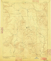
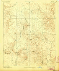
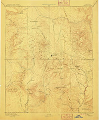
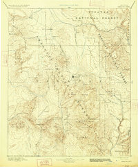
Prescott serves as the territorial hub in this reconnaissance of Central Arizona, situated at the doorstep of Fort Whipple. The landscape is defined by its early mining economy, with heavy interest centered on the Bradshaw Mountains where operations like Del Pasco M and Silver M are established. To the northeast, the settlement of Jerome overlooks the Verde River valley, while smaller outposts like Stanton and Bumble-bee dot the primitive road networks through the southern ranges.
Find a feature on this map
67 named features on this map. Tap any name to fly to it.
Don’t see what you’re looking for? This feature index may not catch every label — zoom into the map to look around manually.
Map Details
Editions of this 1892 Prescott Map
5 editions found
Other maps of this area

1886 · Diamond Creek
USGS Topo · 1:250,000

1886 · San Francisco Mtns
USGS Topo · 1:250,000

1886 · Chino
USGS Topo · 1:250,000

1887 · Verde
USGS Topo · 1:250,000

1887 · Prescott
USGS Topo · 1:250,000

1891 · San Francisco Mtns
USGS Topo · 1:250,000

1891 · Chino
USGS Topo · 1:250,000

1892 · Verde
USGS Topo · 1:250,000

1892 · Diamond Creek
USGS Topo · 1:250,000

1894 · San Francisco Mtns
USGS Topo · 1:250,000