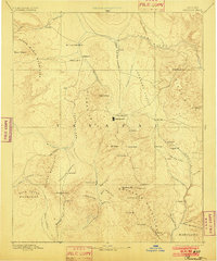
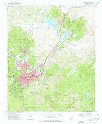
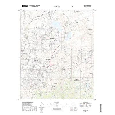
1892 Map of Prescott
USGS Topo · Published 1902About this map
Prescott sits as the central hub of this Arizona Territory survey, flanked by the sprawling military reservation of Fort Whipple. The map, surveyed in 1885, reveals a landscape defined by the intersection of mountain ranges and deep-cut valleys where early mining and ranching outposts like Bueno, Stoddard, and Mayer began to take root. The topography is dominated by the Bradshaw Mountains to the south and the Sierra Prieta to the west, providing the headwaters for systems like Granite Creek and the Verde River.
Find a feature on this map
66 named features on this map. Tap any name to fly to it.
Don’t see what you’re looking for? This feature index may not catch every label — zoom into the map to look around manually.
Map Details
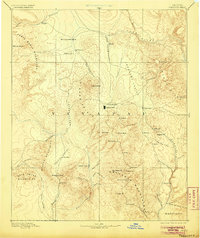
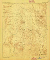
Editions of this 1892 Prescott Map
5 editions found

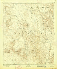
Historical Maps of Prescott Through Time
16 maps found

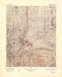
1887 Prescott
Yavapai County, AZ
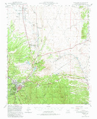
1892 Prescott
Yavapai County, AZ
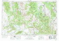
1947 Prescott
Yavapai County, AZ
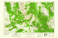
1948 Prescott
Yavapai County, AZ

1950 Prescott
Yavapai County, AZ
1954 Prescott
Yavapai County, AZ

1958 Prescott
Yavapai County, AZ

1959 Prescott
Yavapai County, AZ
1960 Prescott
Yavapai County, AZ

1965 Prescott
Yavapai County, AZ
1973 Prescott
Yavapai County, AZ
1981 Prescott
Yavapai County, AZ
2012 Prescott
Yavapai County, AZ
2014 Prescott
Yavapai County, AZ
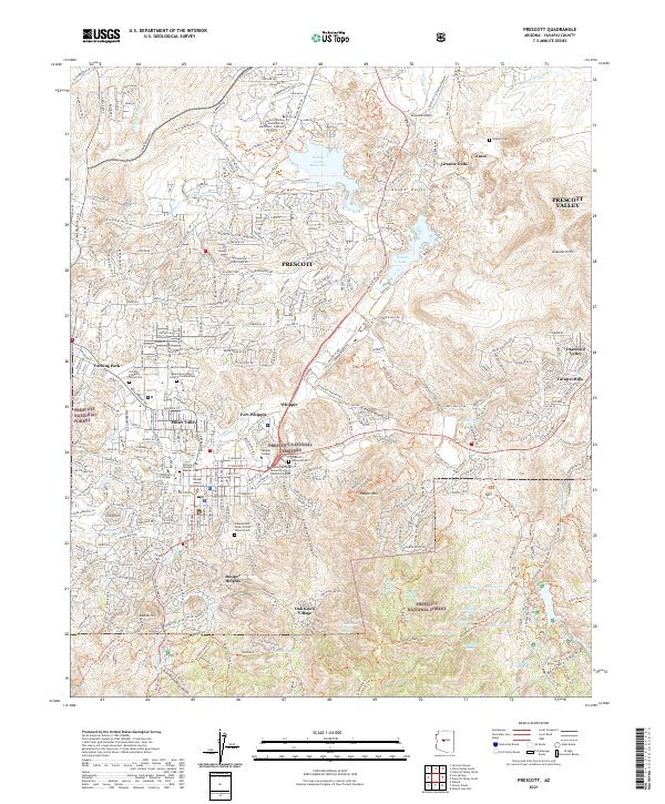
2018 Prescott
Yavapai County, AZ
2021 Prescott
Yavapai County, AZ