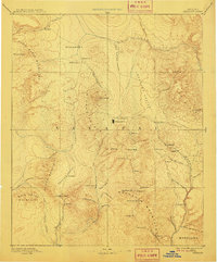
1892 Map of Prescott
USGS Topo · Published 1911About this map
Prescott serves as the central hub of this territorial-era survey, which captures the burgeoning mining and ranching frontier of central Arizona. The landscape is dominated by the massive Bradshaw Mountains and Sierra Prieta, where numerous small camps and settlements like Stanton, Bueno, and Big Bug indicate the region's early focus on mineral extraction. To the north of the city, Fort Whipple marks a significant military presence, while Jerome is already established in the Black Hills above the Verde River.
Find a feature on this map
66 named features on this map. Tap any name to fly to it.
Don’t see what you’re looking for? This feature index may not catch every label — zoom into the map to look around manually.
Map Details
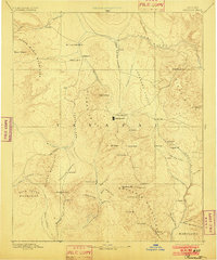
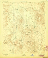
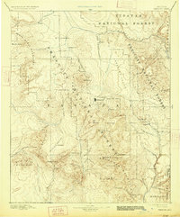
Editions of this 1892 Prescott Map
5 editions found
Other maps of this area

1886 · Diamond Creek
USGS Topo · 1:250,000

1886 · San Francisco Mtns
USGS Topo · 1:250,000

1886 · Chino
USGS Topo · 1:250,000

1887 · Verde
USGS Topo · 1:250,000

1887 · Prescott
USGS Topo · 1:250,000

1891 · San Francisco Mtns
USGS Topo · 1:250,000

1891 · Chino
USGS Topo · 1:250,000

1892 · Verde
USGS Topo · 1:250,000

1892 · Diamond Creek
USGS Topo · 1:250,000

1892 · Prescott
USGS Topo · 1:250,000