
1948 Map of Prescott
USGS Topo · Published 1948About this map
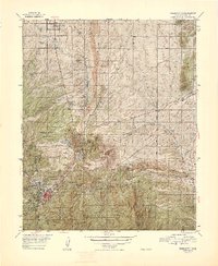
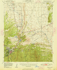
The Prescott townsite and its surrounding ranchlands are depicted here shortly after World War II, showcasing a landscape where military activity, aviation, and traditional mining intersect. The Whipple Military Reservation and the adjacent Yavapai Ind Res anchor the western edge of the map, while the Atchison Topeka and Santa Fe railroad corridor provides a vital link through Granite Siding and Entro. Significant water infrastructure for the arid environment is visible at Watson L and the Willow Cr Reservoir.
Find a feature on this map
41 named features on this map. Tap any name to fly to it.
Don’t see what you’re looking for? This feature index may not catch every label — zoom into the map to look around manually.
Map Details
Editions of this 1948 Prescott Map
4 editions found
Other maps of this area

1887 · Prescott
USGS Topo · 1:250,000

1892 · Prescott
USGS Topo · 1:250,000

1903 · Bradshaw Mountains
USGS Topo · 1:125,000

1903 · Congress
USGS Topo · 1:125,000

1904 · Congress
USGS Topo · 1:125,000

1905 · Jerome
USGS Topo · 1:125,000

1944 · Clarkdale
USGS Topo · 1:48,000

1944 · Mingus Mountain
USGS Topo · 1:62,500

1947 · Mingus Mtn
USGS Topo · 1:62,500

1947 · Mayer
USGS Topo · 1:62,500