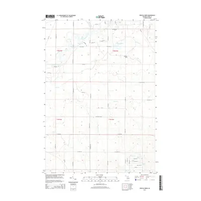
2014 Map of Prestle Creek
USGS Topo · Published 2014About this map
The Muskegon River winds through the northwestern corner of this Clare County landscape, creating a complex wetland environment marked by Harrington Bayou and Black Louie Bayou. These backwaters and the nearby Floodwood Swamp Reservoir define the local hydrology, feeding into a network of small streams including Floodwood Cr and Prestle Cr. The terrain is characterized by numerous glacial depressions, many of which are filled by small bodies of water such as Starkey Lake, Finley Lake, and Lily Lake in the southeast.
Find a feature on this map
57 named features on this map. Tap any name to fly to it.
Don’t see what you’re looking for? This feature index may not catch every label — zoom into the map to look around manually.
Map Details
Editions of this 2014 Prestle Creek Map
This is the sole edition of this map. No revisions or reprints were ever made.
Other maps of this area

1954 · Traverse City
USGS Topo · 1:250,000

1954 · Midland
USGS Topo · 1:250,000

1957 · Harrison
USGS Topo · 1:62,500

1957 · Marion
USGS Topo · 1:62,500

1958 · Traverse City
USGS Topo · 1:250,000

1958 · Midland
USGS Topo · 1:250,000

1959 · Midland
USGS Topo · 1:250,000

1959 · Lake
USGS Topo · 1:62,500

1959 · Clare
USGS Topo · 1:62,500

1966 · Midland
USGS Topo · 1:250,000
Featured Places
- Redding Township, MI
- Winterfield Township, MI
- Greenwood Township, MI
- Summerfield Township, MI
- Clare County, MI