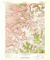
1970 Map of Preston
USGS Topo · Published 1972About this map
Slate Creek meanders through the heart of this landscape, its tight bends defining the valley floor as it passes Howards Mill and the community of Preston. The terrain is characterized by the prominent Harpers Ridge and numerous small hollows like Foley Hollow, which historically dictated the placement of roads and homesteads. The Chesapeake and Ohio railroad corridor cuts across the northern reaches, serving as a vital industrial artery near Stepstone.
Find a feature on this map
32 named features on this map. Tap any name to fly to it.
Don’t see what you’re looking for? This feature index may not catch every label — zoom into the map to look around manually.
Map Details
Editions of this 1970 Preston Map
2 editions found
Other maps of this area

1892 · Beattyville
USGS Topo · 1:125,000

1929 · Salt Lick
USGS Topo · 1:62,500

1934 · Salt Lick
USGS Topo · 1:62,500

1950 · Levee
USGS Topo · 1:24,000

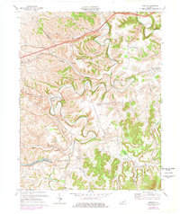
1952 · Preston
USGS Topo · 1:24,000

1952 · Owingsville
USGS Topo · 1:24,000

1952 · Sharpsburg
USGS Topo · 1:24,000

1952 · Mount Sterling
USGS Topo · 1:24,000

1952 · Frenchburg
USGS Topo · 1:24,000

1952 · Means
USGS Topo · 1:24,000