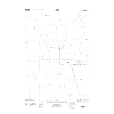
2013 Map of Preston
USGS Topo · Published 2013About this map
Preston and Spragueville serve as the primary hubs for this section of eastern Jackson County, where the landscape is defined by the winding course of the Maquoketa River and its numerous tributaries. The map shows a transition from the consolidated town grids to a landscape of outlying hamlets like Higgensport and Browns. This region is heavily drained by a complex network of waterways, including Sugar Creek, Deep Creek, and Copper Creek, which carve through the Iowa countryside. Recreation is represented by the Plum River Golf Course near Spragueville, while the surrounding territory is stitched together by a system of rural routes such as Iron Bridge Road and 400th Ave. The layout of the small towns, particularly Preston, reveals a traditional midwestern development pattern centered around core streets like West Main Street.
Find a feature on this map
67 named features on this map. Tap any name to fly to it.
Don’t see what you’re looking for? This feature index may not catch every label — zoom into the map to look around manually.
Map Details
Editions of this 2013 Preston Map
This is the sole edition of this map. No revisions or reprints were ever made.
Other maps of this area

1891 · DeWitt
USGS Topo · 1:62,500

1891 · Maquoketa
USGS Topo · 1:62,500

1892 · Goose Lake
USGS Topo · 1:62,500

1894 · Goose Lake
USGS Topo · 1:62,500

1899 · Clinton
USGS Topo · 1:125,000

1901 · Peosta
USGS Topo · 1:125,000

1901 · Rock Island
USGS Topo · 1:125,000

1910 · Rock Island
USGS Topo · 1:125,000

1935 · Miles
USGS Topo · 1:62,500

1941 · Miles
USGS Topo · 1:62,500