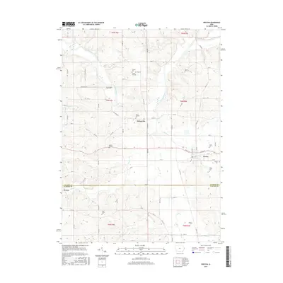
2015 Map of Preston
USGS Topo · Published 2015About this map
The town of Preston and the village of Spragueville anchor this portion of eastern Iowa near the Jackson Co Clinton Co line. This survey captures a rural landscape defined by the winding course of the Maquoketa River and the small agricultural communities that developed around its tributaries, including Copper Cr, Deep Cr, and Sugar Cr. The map is particularly rich in genealogical data, preserving the locations of numerous small family and church burial grounds that speak to the area's pioneer heritage. Notable sites such as the Schmidt Farm Cem, Russell Farm Cem, and North Bend School Cem are scattered across the townships. The rural road network, with routes like Iron Bridge Rd and W White St, connects these heritage sites to the smaller hamlet of Browns in the southwest, reflecting the persistent farm-to-market structure of the region.
Find a feature on this map
49 named features on this map. Tap any name to fly to it.
Don’t see what you’re looking for? This feature index may not catch every label — zoom into the map to look around manually.
Map Details
Editions of this 2015 Preston Map
This is the sole edition of this map. No revisions or reprints were ever made.
Other maps of this area

1891 · DeWitt
USGS Topo · 1:62,500

1891 · Maquoketa
USGS Topo · 1:62,500

1892 · Goose Lake
USGS Topo · 1:62,500

1894 · Goose Lake
USGS Topo · 1:62,500

1899 · Clinton
USGS Topo · 1:125,000

1901 · Peosta
USGS Topo · 1:125,000

1901 · Rock Island
USGS Topo · 1:125,000

1910 · Rock Island
USGS Topo · 1:125,000

1935 · Miles
USGS Topo · 1:62,500

1941 · Miles
USGS Topo · 1:62,500