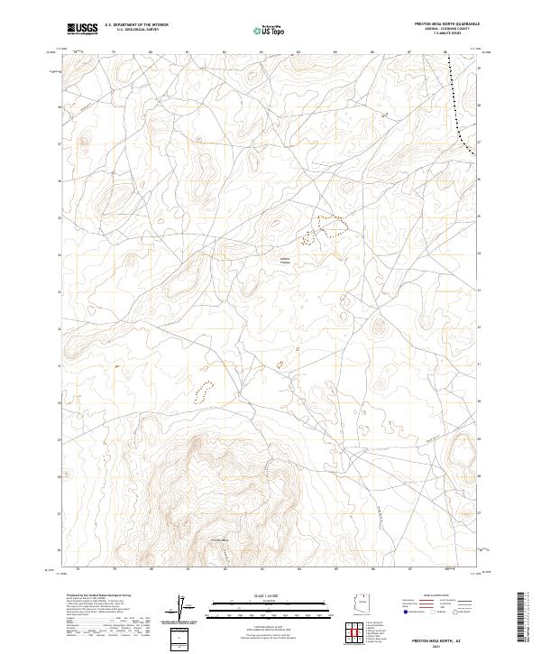
2021 Map of Preston Mesa North
USGS Topo · Published 2021About this map
Preston Mesa rises from the northern high desert, anchoring this survey of the Coconino County landscape. The area is characterized by the expansive Kaibito Plateau, where the terrain is marked by intricate contouring and drainage patterns typical of the region. Transportation across these traditional lands is defined by a network of established routes, most notably Indian Rte 21 and Indian Rte 215, which traverse the open country between the mesas. This modern survey detail shows the intersection of natural landforms and the essential infrastructure of the Navajo Nation, providing a precise look at the geography before further contemporary development. The map also delineates the Public Land Survey System grid, including townships t36n r11e and t35n r12e, which structure the administrative boundaries of this vast desert territory.
Find a feature on this map
11 named features on this map. Tap any name to fly to it.
Don’t see what you’re looking for? This feature index may not catch every label — zoom into the map to look around manually.
Map Details
Editions of this 2021 Preston Mesa North Map
This is the sole edition of this map. No revisions or reprints were ever made.
Other maps of this area

1886 · Echo Cliffs
USGS Topo · 1:250,000

1891 · Echo Cliffs
USGS Topo · 1:250,000

1956 · Marble Canyon
USGS Topo · 1:250,000

1959 · Marble Canyon
USGS Topo · 1:250,000

1961 · Marble Canyon
USGS Topo · 1:250,000
1981 · Big Whisker Well
USGS Topo · 1:24,000
1981 · Kaibito
USGS Topo · 1:24,000
1982 · Gopher Spring
USGS Topo · 1:24,000
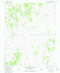
1982 · Sitting Coyote Hill
USGS Topo · 1:24,000
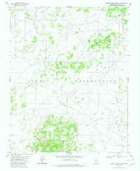
1982 · Preston Mesa North
USGS Topo · 1:24,000