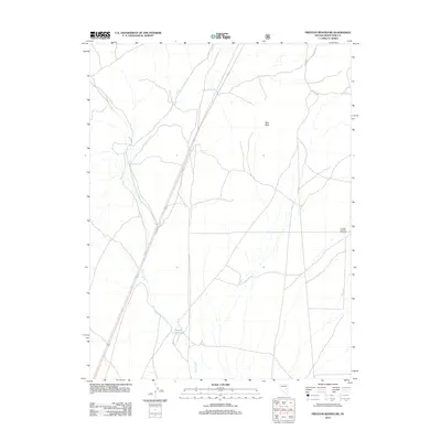
2012 Map of Preston Reservoir
USGS Topo · Published 2012About this map
Preston Reservoir sits at the heart of this high-desert landscape in White Pine County, where a network of ephemeral waterways defines the local geography. The map documents an arid environment shaped by intermittent drainages such as Jakes Wash, Giroux Wash, and Holt Cr. These features highlight the importance of water management and irrigation in the Great Basin, a necessity underscored by the presence of the Preston Seeding Windmill on the eastern edge of the quadrangle. Rising above the drainage plains, Dark Peak provides a primary landmark for navigating this portion of the Nevada interior. The inclusion of Nf D 617 Rd indicates the integration of Forest Service access within the broader regional road network, serving both agricultural and recreational transit during this period.
Find a feature on this map
8 named features on this map. Tap any name to fly to it.
Don’t see what you’re looking for? This feature index may not catch every label — zoom into the map to look around manually.
Map Details
Editions of this 2012 Preston Reservoir Map
This is the sole edition of this map. No revisions or reprints were ever made.
Other maps of this area

1952 · Ely
USGS Topo · 1:125,000

1956 · Lund
USGS Topo · 1:250,000

1956 · Ely
USGS Topo · 1:250,000

1958 · Ely
USGS Topo · 1:62,500

1958 · Giroux Wash
USGS Topo · 1:24,000

1958 · Ely
USGS Topo · 1:24,000

1959 · Ely
USGS Topo · 1:250,000

1959 · Preston Reservoir
USGS Topo · 1:62,500

1960 · Lund
USGS Topo · 1:250,000

1963 · Ely
USGS Topo · 1:250,000