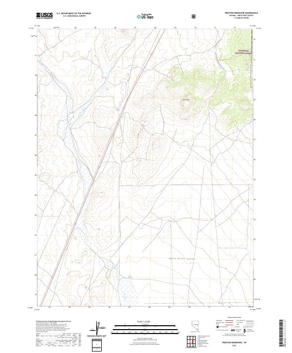
2021 Map of Preston Reservoir
USGS Topo · Published 2021About this map
The White River Valley dominates this high-desert basin in White Pine County, showing a landscape defined by seasonal water flow and rugged topography. The Preston Reservoir sits in the lower valley, acting as a focal point for the drainage systems of Jakes Wash and Giroux Wash that cut across the arid terrain. These intermittent waterways reflect the complex hydrology of the Great Basin, where surface water is a rare and vital resource for the surrounding livestock and agricultural interests.
Find a feature on this map
13 named features on this map. Tap any name to fly to it.
Don’t see what you’re looking for? This feature index may not catch every label — zoom into the map to look around manually.
Map Details
Editions of this 2021 Preston Reservoir Map
This is the sole edition of this map. No revisions or reprints were ever made.
Other maps of this area

1952 · Ely
USGS Topo · 1:125,000

1956 · Lund
USGS Topo · 1:250,000

1956 · Ely
USGS Topo · 1:250,000

1958 · Ely
USGS Topo · 1:62,500

1958 · Giroux Wash
USGS Topo · 1:24,000

1958 · Ely
USGS Topo · 1:24,000

1959 · Ely
USGS Topo · 1:250,000

1959 · Preston Reservoir
USGS Topo · 1:62,500

1960 · Lund
USGS Topo · 1:250,000

1963 · Ely
USGS Topo · 1:250,000