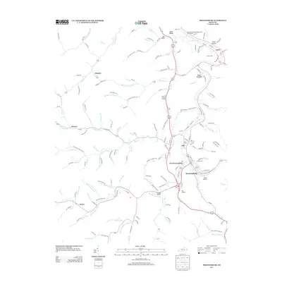
2013 Map of Prestonsburg
USGS Topo · Published 2013About this map
Levisa Fork winds through the heart of this Appalachian landscape, serving as the central corridor for the settlements of Prestonsburg and West Prestonsburg. The terrain is deeply incised by a dense network of branches and hollows, including Stumbo Hollow and Travis Hollow, which dictate the placement of local roads and residential clusters like the Stumbo Subdivision. Small family and community cemeteries are scattered throughout the hills, such as Governors Cem near Auxier and Davidson Cem south of the main town center, providing critical touchpoints for genealogical research in Floyd County.
Find a feature on this map
124 named features on this map. Tap any name to fly to it.
Don’t see what you’re looking for? This feature index may not catch every label — zoom into the map to look around manually.
Map Details
Editions of this 2013 Prestonsburg Map
This is the sole edition of this map. No revisions or reprints were ever made.
Other maps of this area

1886 · Prestonsburg
USGS Topo · 1:125,000

1892 · Prestonsburg
USGS Topo · 1:125,000

1914 · Laynesville
USGS Topo · 1:48,000

1914 · Inez
USGS Topo · 1:48,000

1915 · Paintsville
USGS Topo · 1:48,000

1915 · Prestonsburg
USGS Topo · 1:62,500

1916 · Harold
USGS Topo · 1:62,500

1916 · Inez
USGS Topo · 1:62,500

1917 · Paintsville
USGS Topo · 1:62,500

1918 · Prestonsburg
USGS Topo · 1:62,500