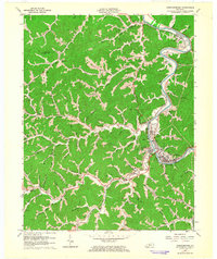
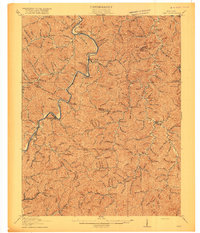
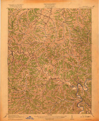
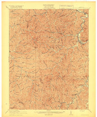
1962 Map of Prestonsburg
USGS Topo · Published 1964About this map
Levisa Fork snakes through the heart of Floyd County in this early 1960s study, defining the settlement patterns of eastern Kentucky. The city of Prestonsburg sits prominently along the eastern bank, connected to West Prestonsburg and serviced by the Chesapeake and Ohio railway. This period shows a landscape deeply integrated with the energy industry, evidenced by numerous Gas Wells scattered across the ridges and branches, including significant clusters near Cliff and Abbott.
Find a feature on this map
47 named features on this map. Tap any name to fly to it.
Don’t see what you’re looking for? This feature index may not catch every label — zoom into the map to look around manually.
Map Details
Editions of this 1962 Prestonsburg Map
This is the sole edition of this map. No revisions or reprints were ever made.
Other maps of this area

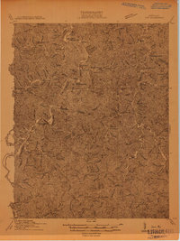
1886 · Prestonsburg
USGS Topo · 1:125,000

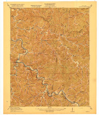
1892 · Prestonsburg
USGS Topo · 1:125,000

1914 · Laynesville
USGS Topo · 1:48,000
1914 · Inez
USGS Topo · 1:48,000

1915 · Paintsville
USGS Topo · 1:48,000
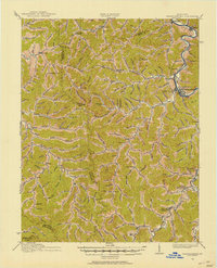
1915 · Prestonsburg
USGS Topo · 1:62,500
1916 · Harold
USGS Topo · 1:62,500
1916 · Inez
USGS Topo · 1:62,500
1917 · Paintsville
USGS Topo · 1:62,500
1918 · Prestonsburg
USGS Topo · 1:62,500