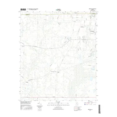
2017 Map of Pretoria
USGS Topo · Published 2017About this map
The lowlands of Dougherty County are defined by a complex drainage network where Tallahassee Cr, Kokee Cr, and Cooleewahee Cr wind through the coastal plain. Historically situated west of Albany, this 2017 study captures a landscape of rural crossroads and established residential pockets. The settlement of Pretoria anchors the southern boundary along Leary Road, while the northern corner shows the transition into more densely plotted suburban areas like Doublegate.
Find a feature on this map
72 named features on this map. Tap any name to fly to it.
Don’t see what you’re looking for? This feature index may not catch every label — zoom into the map to look around manually.
Map Details
Editions of this 2017 Pretoria Map
This is the sole edition of this map. No revisions or reprints were ever made.
Other maps of this area

1953 · Dothan
USGS Topo · 1:250,000

1954 · Dothan
USGS Topo · 1:250,000

1955 · Dothan
USGS Topo · 1:250,000
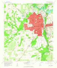
1956 · Albany West
USGS Topo · 1:24,000
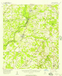
1956 · Baconton
USGS Topo · 1:62,500
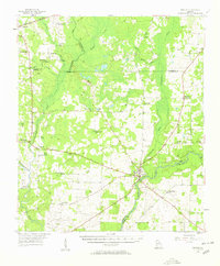
1956 · Newton
USGS Topo · 1:62,500
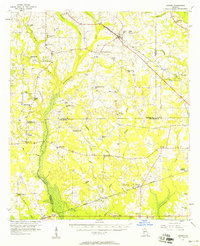
1956 · Sasser
USGS Topo · 1:62,500
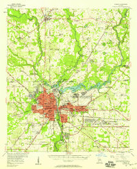
1956 · Albany
USGS Topo · 1:62,500
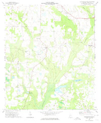
1973 · Chickasawhatchee
USGS Topo · 1:24,000
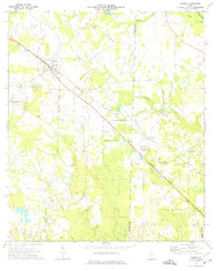
1973 · Sasser
USGS Topo · 1:24,000