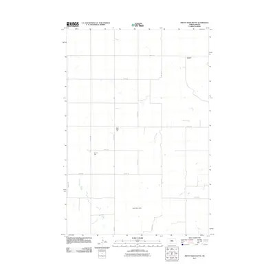
2011 Map of Pretty Rock Butte
USGS Topo · Published 2011About this map
Pretty Rock Butte and other prominent high points define this section of the North Dakota landscape in the early 21st century. The terrain is marked by distinct landforms such as Round Top and the colorfully named Beer Bum Hill, which rise above the surrounding plains. The local geography is further shaped by the drainage systems of Snake Creek, Morris Creek, and Brushy Creek, which wind through the area. For those researching local history or genealogy, the Pretty Rock Cemetery stands in the northeastern portion of the quadrangle. The map reflects a rural section of the state where a structured grid of local roads, including Elgin Rd and several numbered streets and avenues, provides the primary means of navigation through the sparsely populated county.
Find a feature on this map
20 named features on this map. Tap any name to fly to it.
Don’t see what you’re looking for? This feature index may not catch every label — zoom into the map to look around manually.
Map Details
Editions of this 2011 Pretty Rock Butte Map
This is the sole edition of this map. No revisions or reprints were ever made.
Other maps of this area

1954 · Bismarck
USGS Topo · 1:250,000

1958 · Bismarck
USGS Topo · 1:250,000

1972 · Leith
USGS Topo · 1:24,000

1972 · Wheeler Hills
USGS Topo · 1:24,000

1972 · Coffin Buttes
USGS Topo · 1:24,000

1972 · New Leipzig South
USGS Topo · 1:24,000

1972 · Pretty Rock Butte
USGS Topo · 1:24,000

1972 · Sheep Creek Dam
USGS Topo · 1:24,000

1972 · Pretty Rock Butte SE
USGS Topo · 1:24,000

1972 · Round Top
USGS Topo · 1:24,000