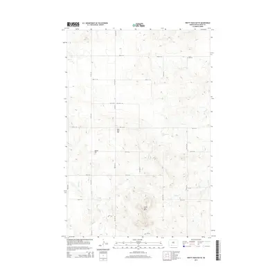
2014 Map of Pretty Rock Butte
USGS Topo · Published 2014About this map
Pretty Rock Butte anchors this section of Grant County, rising above a landscape defined by seasonal drainages and high plains plateaus. The map documents a sparsely settled agricultural region where the local topography often bears distinctive informal names such as Beer Bum Hill and Round Top. Water management and natural drainage are evident through the paths of Morris Cr, Snake Cr, and Brushy Cr, which snake through the section lines. For family historians, the Pretty Rock Cem in the northeastern quadrant serves as a critical local landmark, situated near the intersection of 82nd St SW and 68th Ave SW. The township is organized around a strict grid of section roads including Elgin Rd and various numbered avenues, reflecting the enduring legacy of the Public Land Survey System in rural North Dakota.
Find a feature on this map
22 named features on this map. Tap any name to fly to it.
Don’t see what you’re looking for? This feature index may not catch every label — zoom into the map to look around manually.
Map Details
Editions of this 2014 Pretty Rock Butte Map
This is the sole edition of this map. No revisions or reprints were ever made.
Other maps of this area

1954 · Bismarck
USGS Topo · 1:250,000

1958 · Bismarck
USGS Topo · 1:250,000

1972 · Leith
USGS Topo · 1:24,000

1972 · Wheeler Hills
USGS Topo · 1:24,000

1972 · Coffin Buttes
USGS Topo · 1:24,000

1972 · New Leipzig South
USGS Topo · 1:24,000

1972 · Pretty Rock Butte
USGS Topo · 1:24,000

1972 · Sheep Creek Dam
USGS Topo · 1:24,000

1972 · Pretty Rock Butte SE
USGS Topo · 1:24,000

1972 · Round Top
USGS Topo · 1:24,000