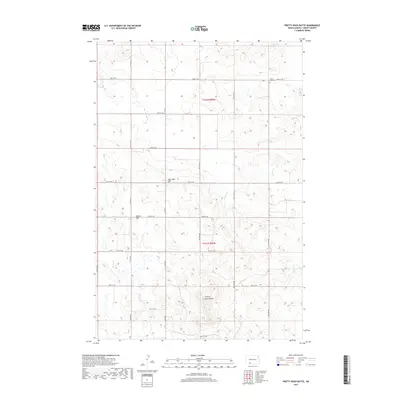
2017 Map of Pretty Rock Butte
USGS Topo · Published 2017About this map
Pretty Rock Butte and other high-ground landmarks define this section of the Great Plains in Grant County. The topography is marked by localized elevations including Beer Bum Hill and Round Top, providing relief above the meandering drainages of Snake Creek, Morris Creek, and Brushy Creek. This landscape is primarily organized by a rigid grid of rural roads, such as 86th St SW and 89th Ave SW, which facilitate access to remote agricultural holdings and sections.
Find a feature on this map
18 named features on this map. Tap any name to fly to it.
Don’t see what you’re looking for? This feature index may not catch every label — zoom into the map to look around manually.
Map Details
Editions of this 2017 Pretty Rock Butte Map
This is the sole edition of this map. No revisions or reprints were ever made.
Other maps of this area

1954 · Bismarck
USGS Topo · 1:250,000

1958 · Bismarck
USGS Topo · 1:250,000

1972 · Leith
USGS Topo · 1:24,000

1972 · Wheeler Hills
USGS Topo · 1:24,000

1972 · Coffin Buttes
USGS Topo · 1:24,000

1972 · New Leipzig South
USGS Topo · 1:24,000

1972 · Pretty Rock Butte
USGS Topo · 1:24,000

1972 · Sheep Creek Dam
USGS Topo · 1:24,000

1972 · Pretty Rock Butte SE
USGS Topo · 1:24,000

1972 · Round Top
USGS Topo · 1:24,000