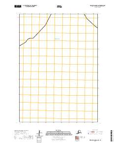
2020 Map of Pribilof Islands C-4 NE
USGS Topo · Published 2020About this map
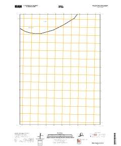
The Bering Sea dominates this 2020 topographic survey of the Pribilof Islands region, specifically the C-4 NE quadrangle in the Aleutians West Census Area. This coastal segment is characterized by its stark nautical profile, with a shoreline cutting diagonally across the northwestern portion of the map. The landscape is primarily defined by the maritime environment and the Public Land Survey System grid, which is marked here as t35s r131w. While the terrestrial portion of the map is limited to sections such as 15, 23, and 35, the emphasis remains on the coastal boundary where the land meets the vast waters of the north. This map reflects the modern geospatial mapping standards of the US Topo program, providing a clean record of the current shoreline and administrative boundaries in this remote Alaskan territory.
Find a feature on this map
14 named features on this map. Tap any name to fly to it.
Don’t see what you’re looking for? This feature index may not catch every label — zoom into the map to look around manually.
Map Details
Editions of this 2020 Pribilof Islands C-4 NE Map
This is the sole edition of this map. No revisions or reprints were ever made.
Other maps of this area
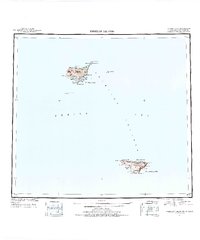
1948 · Pribilof Islands
USGS Topo · 1:250,000
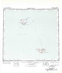
1949 · Pribilof Islands
USGS Topo · 1:250,000
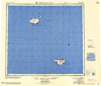
1958 · Pribilof Islands
USGS Topo · 1:250,000
1969 · Pribilof Islands
USGS Topo · 1:250,000
2001 · Saint Paul Island East
USGS Topo · 1:25,000
2020 · Pribilof Islands D-4 SW
USGS Topo · 1:25,000
2020 · Pribilof Islands D-4 SE
USGS Topo · 1:25,000
2020 · Pribilof Islands C-3 NW
USGS Topo · 1:25,000
2020 · Pribilof Islands C-4 NW
USGS Topo · 1:25,000