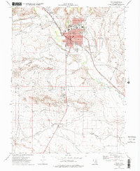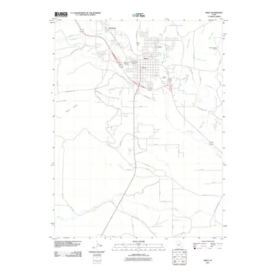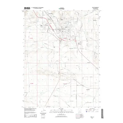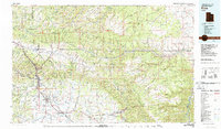
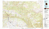
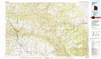
1980 Map of Price
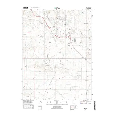
USGS Topo · Published 1987About this map
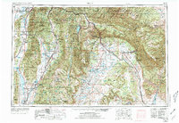
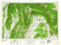
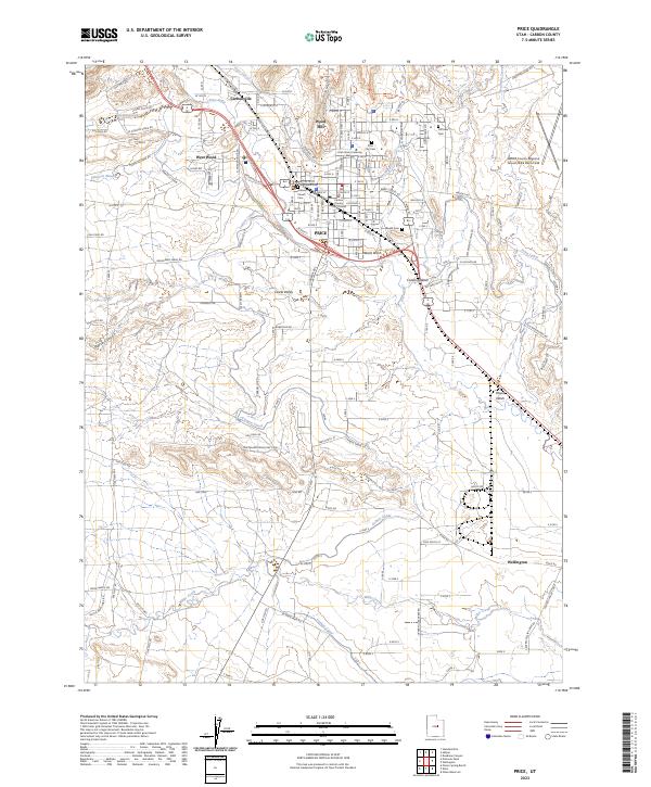
The Price River valley serves as the industrial and transit corridor for this region, supporting a network of coal mining towns and rail lines in the early 1980s. Major settlements like Price and Helper anchor the valley, while smaller company towns and mining sites such as Hiawatha, Standardville, and the Sunnyside Mine are tucked into the drainages of the Book Cliffs. The Denver and Rio Grande Western Railroad and the Utah Railway are central to the landscape, facilitating the movement of coal from the high plateaus. Beyond the industrial core, the terrain rises sharply into the Tavaputs Plateau and Roan Cliffs, characterized by deep incisions like Desolation Canyon. This map details the intersection of heavy industry and formidable geography, showing the extent of operations at the Knight Ideal Mine and the Geneva Mine before the shift in regional energy production.
Find a feature on this map
65 named features on this map. Tap any name to fly to it.
Don’t see what you’re looking for? This feature index may not catch every label — zoom into the map to look around manually.
Map Details
Editions of this 1980 Price Map
3 editions found
Historical Maps of Price Through Time
10 maps found