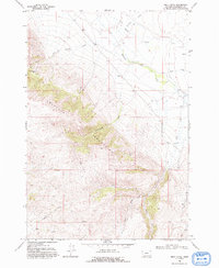
1968 Map of Price Creek
USGS Topo · Published 1993About this map
The Blacktail Mountains dominate this 1960s survey of southern Montana, where steep ridges give way to a network of drainage basins. The landscape is defined by the headwaters of numerous creeks, most notably the Blacktail Deer Creek which winds through the northern flats. Evidence of early prospecting is preserved at the Silver Queen Mine, located high on a western slope near Lake Canyon and Jake Canyon.
Find a feature on this map
19 named features on this map. Tap any name to fly to it.
Don’t see what you’re looking for? This feature index may not catch every label — zoom into the map to look around manually.
Map Details
Editions of this 1968 Price Creek Map
2 editions found
Other maps of this area

1893 · Dillon
USGS Topo · 1:250,000

1955 · Dubois
USGS Topo · 1:250,000

1955 · Dillon
USGS Topo · 1:250,000

1957 · Dillon
USGS Topo · 1:250,000

1958 · Dubois
USGS Topo · 1:250,000

1958 · Dillon
USGS Topo · 1:250,000

1961 · Red Canyon
USGS Topo · 1:24,000

1961 · Ashbough Canyon
USGS Topo · 1:24,000

1961 · Elk Gulch
USGS Topo · 1:24,000

1962 · Dillon
USGS Topo · 1:250,000