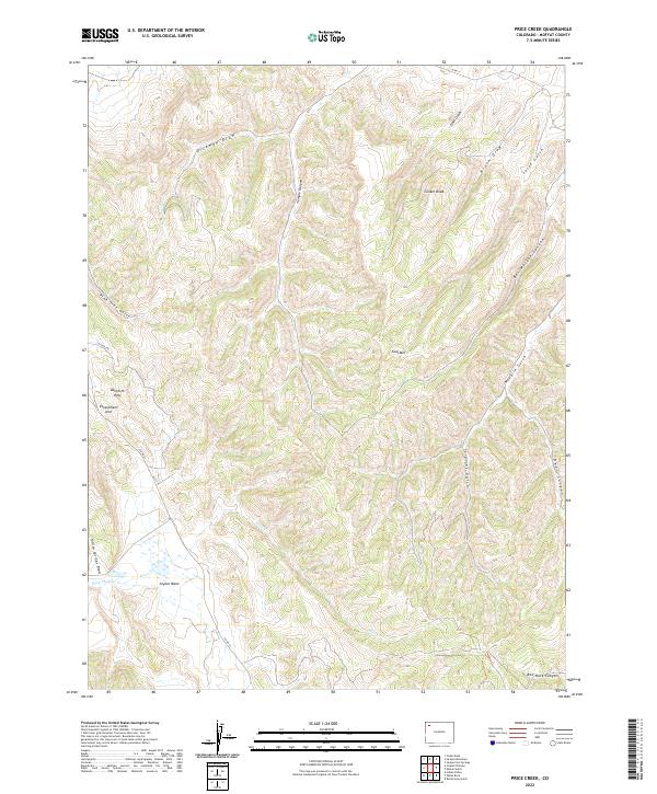
2022 Map of Price Creek
USGS Topo · Published 2022About this map
Danforth Hills anchor this portion of Moffat County, where high ridges and deep drainages define a complex topography in the northwestern corner of Colorado. The landscape is marked by unique geologic markers such as Escarpment Arch and Clinker Knob, while substantial elevations are represented by Coal Mtn. This area is characterized by an intricate network of erosional features, including Temple Canyon and Dickman Draw, which feed into the central drainage of Price Cr.
Find a feature on this map
28 named features on this map. Tap any name to fly to it.
Don’t see what you’re looking for? This feature index may not catch every label — zoom into the map to look around manually.
Map Details
Editions of this 2022 Price Creek Map
This is the sole edition of this map. No revisions or reprints were ever made.
Other maps of this area

1907 · White River
USGS Topo · 1:125,000

1910 · Danforth Hills
USGS Topo · 1:125,000

1910 · White River
USGS Topo · 1:125,000

1912 · Meeker
USGS Topo · 1:62,500

1912 · Axial
USGS Topo · 1:62,500

1914 · Meeker
USGS Topo · 1:62,500

1914 · Axial
USGS Topo · 1:62,500

1954 · Vernal
USGS Topo · 1:250,000

1954 · Craig
USGS Topo · 1:250,000

1957 · Craig
USGS Topo · 1:250,000