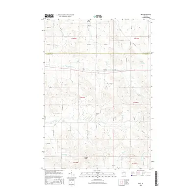
2015 Map of Price
USGS Topo · Published 2015About this map
The N Fork Buffalo River and S Fork Buffalo River converge within this rural landscape along the border of Eau Claire and Jackson counties. Small community centers like Price and Levis serve as anchors for a network of local roads such as Stagecoach Rd and Old Hwy 10. The terrain is defined by dramatic elevation changes, most notably at Ellingson Coulee and the branching valleys of Diamond Valley Cr and Hay Creek. For genealogists and local historians, several burial sites are mapped, including Saint Johns Cem near the northern boundary and Hillcrest Cem further south. The map documents the persistent agricultural and riparian character of the region, where numerous small tributaries like Jermstad Cr and Gomsrud Cr drain into the larger river systems of the Buffalo and Trempealeau watersheds.
Find a feature on this map
73 named features on this map. Tap any name to fly to it.
Don’t see what you’re looking for? This feature index may not catch every label — zoom into the map to look around manually.
Map Details
Editions of this 2015 Price Map
This is the sole edition of this map. No revisions or reprints were ever made.
Other maps of this area

1924 · Black River Falls
USGS Topo · 1:62,500

1926 · Black River Falls
USGS Topo · 1:62,500

1927 · Blair
USGS Topo · 1:62,500

1935 · Osseo
USGS Topo · 1:48,000

1940 · Osseo
USGS Topo · 1:62,500

1948 · Fairchild
USGS Topo · 1:62,500

1949 · Fairchild
USGS Topo · 1:62,500

1953 · Eau Claire
USGS Topo · 1:250,000

1958 · Eau Claire
USGS Topo · 1:250,000

1964 · Eau Claire
USGS Topo · 1:250,000