
1886 Map of Price River
USGS Topo · Published 1886About this map
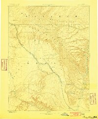
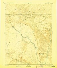
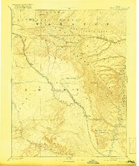
Castle Valley serves as a central corridor for settlement and transit in this late nineteenth-century Powell Survey. The newly constructed Denver and Rio Grande Western R. R. cuts through the landscape, following the Price River from the narrow pass at Castle Gate down through the budding town of Price. This rail connection reflects the region's early transition from isolated frontier to an industrial gateway, linking the high Wasatch and Roan or Book Cliffs to the wider world. To the southeast, the terrain transitions into the labyrinthine Desolation Canon and Gray Canon along the Green River. Notable early outposts like Sunny Side, Grassy Trail, and Castle Dale are documented here, alongside topographic landmarks such as the San Rafael Swell and Beckwith Plateau, providing a foundational view of the area's geography before significant 20th-century development.
Find a feature on this map
31 named features on this map. Tap any name to fly to it.
Don’t see what you’re looking for? This feature index may not catch every label — zoom into the map to look around manually.
Map Details
Editions of this 1886 Price River Map
4 editions found
Other maps of this area

1885 · San Rafael
USGS Topo · 1:250,000

1885 · Salt Lake
USGS Topo · 1:250,000

1885 · Manti
USGS Topo · 1:250,000

1885 · East Tavaputs
USGS Topo · 1:250,000

1885 · La Sal
USGS Topo · 1:250,000

1885 · Ashley
USGS Topo · 1:250,000

1885 · Fish Lake
USGS Topo · 1:250,000

1885 · Uinta
USGS Topo · 1:250,000

1895 · Manti
USGS Topo · 1:250,000

1896 · Price River
USGS Topo · 1:250,000