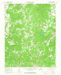
1964 Map of Price
USGS Topo · Published 1966About this map
The Virginia North Carolina state line divides this 1964 survey, where the tobacco-growing uplands of Henry and Rockingham Counties meet. At the center of the local economy and transport is the Norfolk and Western railroad, which parallels the winding course of Marrowbone Creek and the Marrowbone Reservoir. The small settlement of Price serves as a local hub near the state border, surrounded by a dense network of country churches including New Jerusalem Ch, Whites Chapel, and Christian View Ch.
Find a feature on this map
38 named features on this map. Tap any name to fly to it.
Don’t see what you’re looking for? This feature index may not catch every label — zoom into the map to look around manually.
Map Details
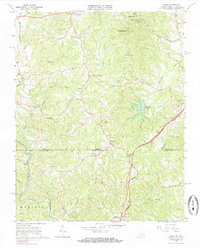
Editions of this 1964 Price Map
2 editions found
Other maps of this area

1924 · Martinsville
USGS Topo · 1:48,000

1926 · Martinsville
USGS Topo · 1:62,500

1926 · Critz
USGS Topo · 1:48,000

1927 · Martinsville
USGS Topo · 1:62,500

1928 · Critz
USGS Topo · 1:62,500

1944 · Martinsville
USGS Topo · 1:62,500

1953 · Winston-Salem
USGS Topo · 1:250,000

1953 · Greensboro
USGS Topo · 1:250,000

1954 · Greensboro
USGS Topo · 1:250,000

1955 · Winston-Salem
USGS Topo · 1:250,000