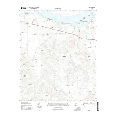
2014 Map of Pride
USGS Topo · Published 2014About this map
The Tennessee River defines the northern boundary of this Colbert County landscape, where the waters of Pickwick Lake surround a series of river features including Sevenmile Island, Pippin Towhead, and Buck Island. South of the river, the terrain rises into a complex system of ridges and hollows, notably Hawk Pride Mtn and Potato Hill Mtn. The settlement pattern is anchored by the historic rail-and-road corridor of Us-72, connecting the community of Pride toward Tuscumbia in the east.
Find a feature on this map
102 named features on this map. Tap any name to fly to it.
Don’t see what you’re looking for? This feature index may not catch every label — zoom into the map to look around manually.
Map Details
Editions of this 2014 Pride Map
This is the sole edition of this map. No revisions or reprints were ever made.
Other maps of this area

1914 · Muscle Shoals
USGS Topo · 1:48,000

1916 · Muscle Shoals
USGS Topo · 1:62,500

1924 · Tuscumbia
USGS Topo · 1:48,000

1924 · Gravelly Springs
USGS Topo · 1:48,000

1925 · Barton
USGS Topo · 1:62,500

1926 · Tuscumbia
USGS Topo · 1:62,500

1926 · Barton
USGS Topo · 1:48,000

1926 · Gravelly Springs
USGS Topo · 1:62,500

1929 · Barton
USGS Topo · 1:62,500

1935 · Cherokee
USGS Topo · 1:24,000