2018 Map of Pride
USGS Topo · Published 2018About this map
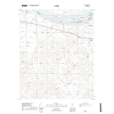
Pride and Red Rock anchor this survey of the Tennessee River valley west of Tuscumbia, where the landscape is defined by the expansive waters of Pickwick Lake. The river here is a complex network of islands and channels, including Sevenmile Island, Buck-Island, and Goat Towhead. To the south, the terrain rises sharply into the uplands of Hawk Pride Mtn and Wagnon Mtn, where deep drainages like Devils Hollow and Keenum Hollow cut through the ridges. The settlement pattern is characterized by scattered family-named cemeteries such as Gibbs Cem, Keeton Cem, and Holland Cem, which provide valuable location data for genealogists. Transport history is visible in the route of the Old Memphis Pike and the industrial presence of the Colbert Steam Plant Rd near the Pride Bluff river overlook. This detailed topographic study illustrates the transition from the fertile river bottoms to the higher, more broken terrain of the Devils Backbone.
Find a feature on this map
107 named features on this map. Tap any name to fly to it.
Don’t see what you’re looking for? This feature index may not catch every label — zoom into the map to look around manually.
Map Details
Editions of this 2018 Pride Map
This is the sole edition of this map. No revisions or reprints were ever made.
Other maps of this area

1914 · Muscle Shoals
USGS Topo · 1:48,000

1916 · Muscle Shoals
USGS Topo · 1:62,500

1924 · Tuscumbia
USGS Topo · 1:48,000

1924 · Gravelly Springs
USGS Topo · 1:48,000

1925 · Barton
USGS Topo · 1:62,500

1926 · Tuscumbia
USGS Topo · 1:62,500

1926 · Barton
USGS Topo · 1:48,000

1926 · Gravelly Springs
USGS Topo · 1:62,500

1929 · Barton
USGS Topo · 1:62,500

1935 · Cherokee
USGS Topo · 1:24,000