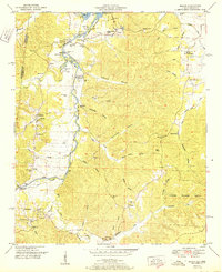
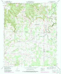
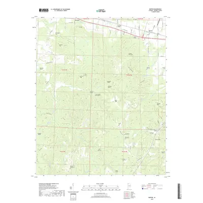
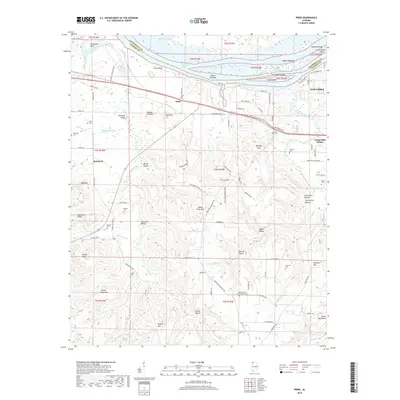
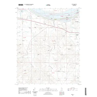
1971 Map of Pride
USGS Topo · Published 1972About this map
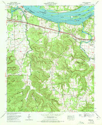
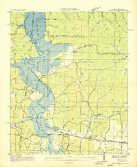
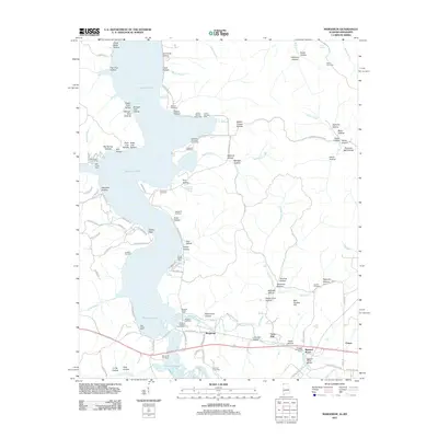
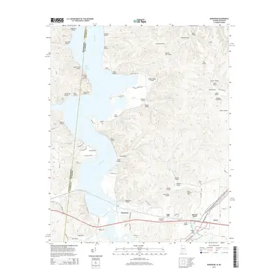
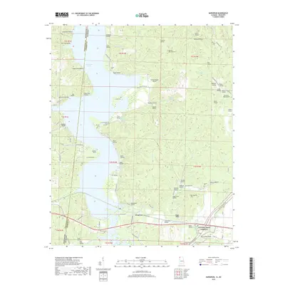
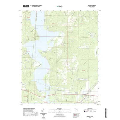
Pickwick Lake and the Tennessee River dominate the northern landscape of this early 1970s Colbert County survey, where heavy industry meets the deep hollows of the Highland Rim. The Colbert Steam Plant stands as a massive industrial landmark on the southern shore, its complex system of conveyors and ash disposal areas contrasting with the neighboring Pickwick Reservation. To the south, the terrain rises sharply into the ridgelines of Hawk Pride Mountain and Sandfall Mountain, a region marked by a dense network of timbered knobs and seasonal drainages like Thompson Hollow and Devils Hollow.
Find a feature on this map
62 named features on this map. Tap any name to fly to it.
Don’t see what you’re looking for? This feature index may not catch every label — zoom into the map to look around manually.
Map Details
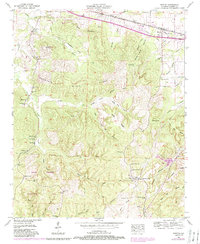
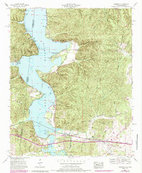
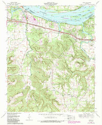
Editions of this 1971 Pride Map
2 editions found
Historical Maps of Tuscumbia Through Time
40 maps found

1925 Barton
Colbert County, AL

1926 Barton
Colbert County, AL
1929 Barton
Colbert County, AL
1936 Barton
Colbert County, AL
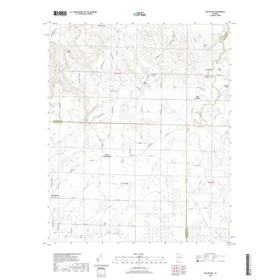
1936 Bishop
Colbert County, AL
1936 Margerum
Colbert County, AL
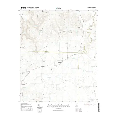
1936 Old Bethel
Colbert County, AL
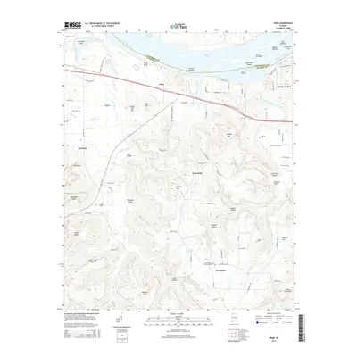
1936 Pride
Colbert County, AL
1950 Bishop
Colbert County, AL
1951 Bishop
Colbert County, AL
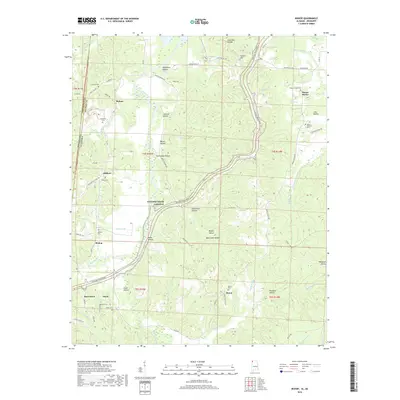
1953 Barton
Colbert County, AL
1953 Margerum
Colbert County, AL
1954 Pride
Colbert County, AL
1957 Old Bethel
Colbert County, AL
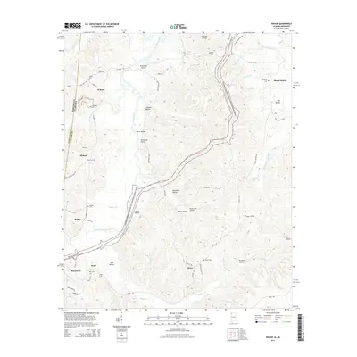
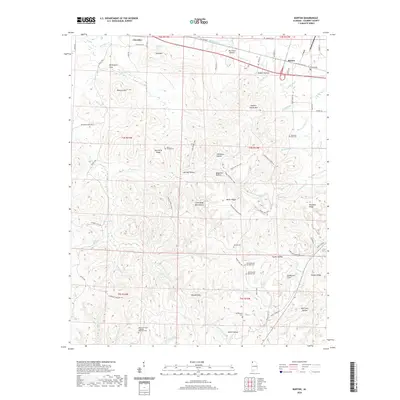
1971 Pride
Colbert County, AL
2011 Barton
Colbert County, AL
2011 Bishop
Colbert County, AL
2011 Margerum
Colbert County, AL
2011 Old Bethel
Colbert County, AL
2011 Pride
Colbert County, AL
2014 Barton
Colbert County, AL
2014 Bishop
Colbert County, AL
2014 Margerum
Colbert County, AL
2014 Old Bethel
Colbert County, AL
2014 Pride
Colbert County, AL
2018 Barton
Colbert County, AL
2018 Bishop
Colbert County, AL
2018 Margerum
Colbert County, AL
2018 Old Bethel
Colbert County, AL
2018 Pride
Colbert County, AL
2020 Barton
Colbert County, AL
2020 Bishop
Colbert County, AL
2020 Margerum
Colbert County, AL
2020 Old Bethel
Colbert County, AL
2020 Pride
Colbert County, AL
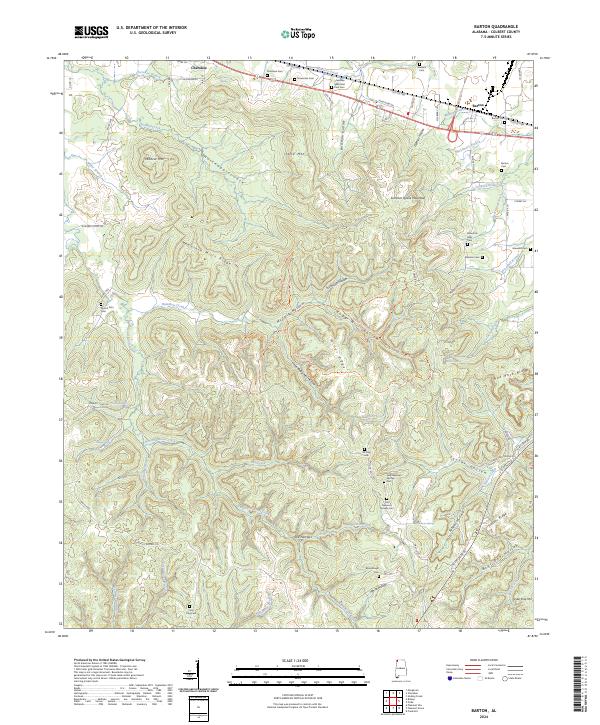
2024 Barton
Colbert County, AL
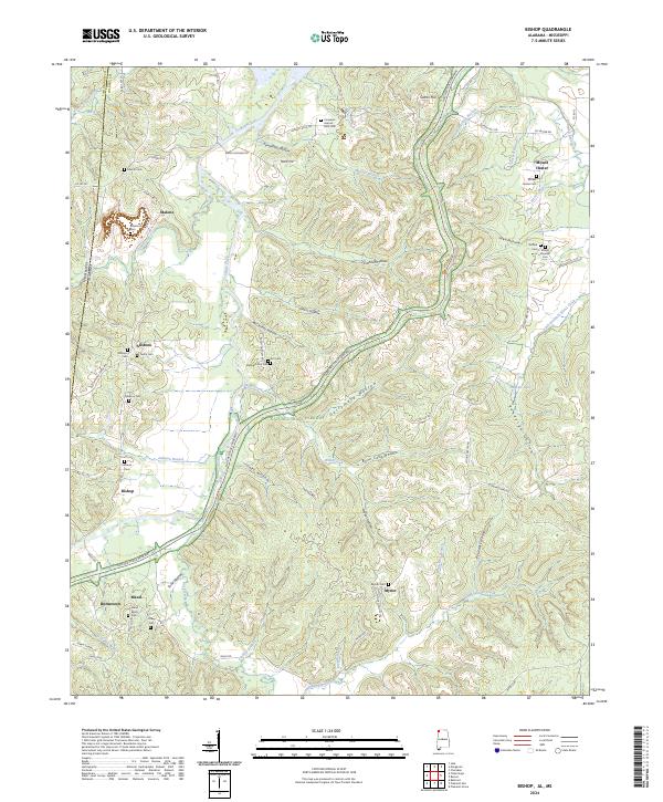
2024 Bishop
Colbert County, AL
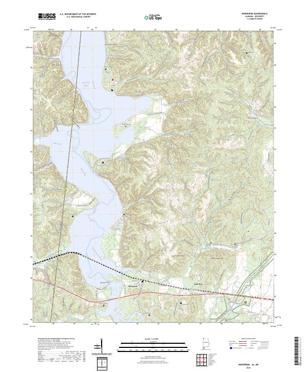
2024 Margerum
Colbert County, AL
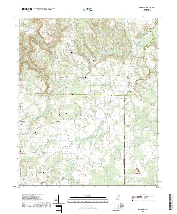
2024 Old Bethel
Colbert County, AL
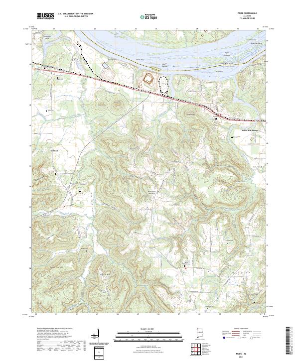
2024 Pride
Colbert County, AL