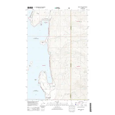
2013 Map of Priest Lake SE
USGS Topo · Published 2013About this map
Priest Lake defines the western edge of this landscape, its shoreline deeply indented by Cavanaugh Bay and Indian Creek Bay. The area serves as a primary recreational and conservation corridor within the Kaniksu National Forest, featuring the Priest Lake State Park Indian Creek Unit and its associated Indian Creek Campground. To the south, the settlement of Sherwood Beach sits near the mouth of Soldier Cr, while the Cavanaugh Bay Airport provides localized aviation access to the eastern shore.
Find a feature on this map
47 named features on this map. Tap any name to fly to it.
Don’t see what you’re looking for? This feature index may not catch every label — zoom into the map to look around manually.
Map Details
Editions of this 2013 Priest Lake SE Map
This is the sole edition of this map. No revisions or reprints were ever made.
Other maps of this area

1901 · Sandpoint
USGS Topo · 1:125,000

1911 · Priest Lake
USGS Topo · 1:250,000

1911 · Sandpoint
USGS Topo · 1:125,000

1913 · Priest Lake
USGS Topo · 1:250,000

1958 · Sandpoint
USGS Topo · 1:250,000

1963 · Sandpoint
USGS Topo · 1:250,000

1967 · Priest Lake SE
USGS Topo · 1:24,000

1967 · Coolin
USGS Topo · 1:24,000

1967 · Priest Lake NE
USGS Topo · 1:24,000

1967 · Priest Lake NW
USGS Topo · 1:24,000