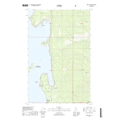
2020 Map of Priest Lake SE
USGS Topo · Published 2020About this map
The eastern shores of Priest Lake in Kaniksu National Forest are defined by a complex shoreline of deep bays and prominent points. Significant mountain terrain rises sharply from the water, including the high peaks of the Selkirk Mountains and the distinct summit of Roothaan Mtn. The landscape is etched with steep drainages such as Horton Cr and S Fork Hunt Cr, while Camels Prairie provides a unique high-elevation opening in the dense forest cover.
Find a feature on this map
53 named features on this map. Tap any name to fly to it.
Don’t see what you’re looking for? This feature index may not catch every label — zoom into the map to look around manually.
Map Details
Editions of this 2020 Priest Lake SE Map
This is the sole edition of this map. No revisions or reprints were ever made.
Other maps of this area

1901 · Sandpoint
USGS Topo · 1:125,000

1911 · Priest Lake
USGS Topo · 1:250,000

1911 · Sandpoint
USGS Topo · 1:125,000

1913 · Priest Lake
USGS Topo · 1:250,000

1958 · Sandpoint
USGS Topo · 1:250,000

1963 · Sandpoint
USGS Topo · 1:250,000

1967 · Priest Lake SE
USGS Topo · 1:24,000

1967 · Coolin
USGS Topo · 1:24,000

1967 · Priest Lake NE
USGS Topo · 1:24,000

1967 · Priest Lake NW
USGS Topo · 1:24,000