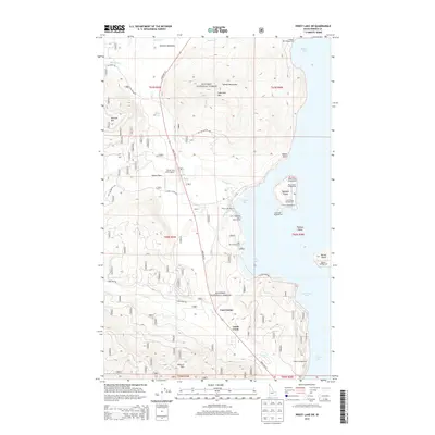
2013 Map of Priest Lake SW
USGS Topo · Published 2013About this map
Kanisku National Forest encompasses the high country and western shores of Priest Lake, where timberlands and recreation-focused settlements like Lamb Creek and Hanna Flats define the local geography. The shoreline is dotted with public access points and seasonal landings, from the Priest Lake Marina to the Kalispell Point Boat Ramp. Looking across Kalispell Bay and Shoshone Bay, the map details a chain of landforms including Kalispell Island, Papoose Island, and Bartoo Island.
Find a feature on this map
54 named features on this map. Tap any name to fly to it.
Don’t see what you’re looking for? This feature index may not catch every label — zoom into the map to look around manually.
Map Details
Editions of this 2013 Priest Lake SW Map
This is the sole edition of this map. No revisions or reprints were ever made.
Other maps of this area

1901 · Sandpoint
USGS Topo · 1:125,000

1911 · Priest Lake
USGS Topo · 1:250,000

1911 · Sandpoint
USGS Topo · 1:125,000

1913 · Priest Lake
USGS Topo · 1:250,000

1934 · Metaline
USGS Topo · 1:125,000

1936 · Newport
USGS Topo · 1:96,000

1942 · Metaline
USGS Topo · 1:125,000

1942 · Newport
USGS Topo · 1:125,000

1958 · Sandpoint
USGS Topo · 1:250,000

1963 · Sandpoint
USGS Topo · 1:250,000