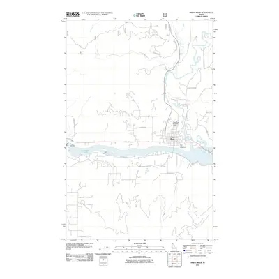
2011 Map of Priest River
USGS Topo · Published 2011About this map
Priest River sits at the confluence of its namesake waterway and the expansive Lake Pend Oreille, serving as the primary hub for this timber and recreation-oriented landscape in northern Idaho. The town's layout is closely tied to the water, with the Priest River Municipal Airport and the Priest River Campground flanking the riverbanks. To the west, the Albeni Falls Dam Picnic Area marks a significant point of river regulation, while the shoreline of the lake features Strong Island and its associated Strong Island Picnic Area. The surrounding terrain is defined by a dense network of forest roads and creeks, including Pine Creek and the Lower West Branch Priest River. Notable high points like the Newport Hill Lookout provide vantage points over a landscape transition from river valley to the rising peaks of the Kaniksu National Forest region.
Find a feature on this map
48 named features on this map. Tap any name to fly to it.
Don’t see what you’re looking for? This feature index may not catch every label — zoom into the map to look around manually.
Map Details
Editions of this 2011 Priest River Map
This is the sole edition of this map. No revisions or reprints were ever made.
Other maps of this area
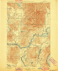
1901 · Sandpoint
USGS Topo · 1:125,000
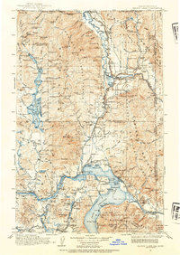
1911 · Priest Lake
USGS Topo · 1:250,000
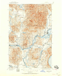
1911 · Sandpoint
USGS Topo · 1:125,000
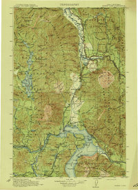
1913 · Priest Lake
USGS Topo · 1:250,000
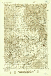
1936 · Newport
USGS Topo · 1:96,000
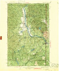
1942 · Newport
USGS Topo · 1:125,000
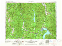
1958 · Sandpoint
USGS Topo · 1:250,000
1963 · Sandpoint
USGS Topo · 1:250,000
1967 · Quartz Mtn
USGS Topo · 1:24,000
1967 · Prater Mtn
USGS Topo · 1:24,000