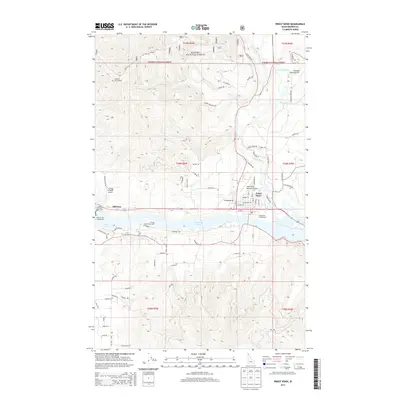
2013 Map of Priest River
USGS Topo · Published 2013About this map
Lake Pend Oreille and its western outlet form the central corridor of this Bonner County landscape, where the communities of Priest River and Oldtown serve as established hubs. The map reveals a land defined by its transition from the water’s edge to the timbered heights of the Kanisku National Forest. Settlement patterns are concentrated along the northern bank of the river, with residential streets like Beardmore Ave and Jefferson Ave giving way to a network of rural routes such as Cemetery Rd and E Settlement Rd.
Find a feature on this map
81 named features on this map. Tap any name to fly to it.
Don’t see what you’re looking for? This feature index may not catch every label — zoom into the map to look around manually.
Map Details
Editions of this 2013 Priest River Map
This is the sole edition of this map. No revisions or reprints were ever made.
Other maps of this area

1901 · Sandpoint
USGS Topo · 1:125,000

1911 · Priest Lake
USGS Topo · 1:250,000

1911 · Sandpoint
USGS Topo · 1:125,000

1913 · Priest Lake
USGS Topo · 1:250,000

1936 · Newport
USGS Topo · 1:96,000

1942 · Newport
USGS Topo · 1:125,000

1958 · Sandpoint
USGS Topo · 1:250,000

1963 · Sandpoint
USGS Topo · 1:250,000

1967 · Quartz Mtn
USGS Topo · 1:24,000

1967 · Prater Mtn
USGS Topo · 1:24,000