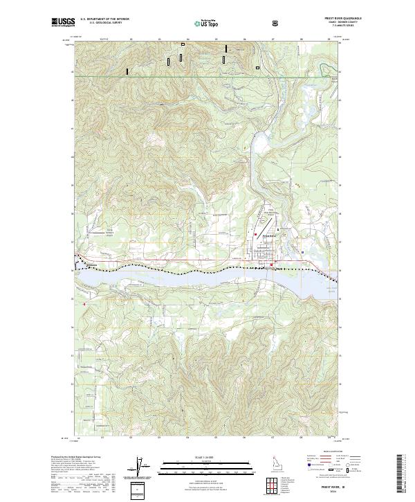
2024 Map of Priest River
USGS Topo · Published 2024About this map
The confluence of the Priest River and Lake Pend Oreille serves as the focal point for this section of Bonner County, Idaho. The town of Priest River is situated at this critical hydraulic junction, showing a dense street grid featuring Beardmore Ave and Jefferson Ave north of the riverbank. To the west, the settlement of Oldtown sits along the shoreline, marking the gateway to the interior timberlands. This modern data highlights how aviation has integrated into the landscape, with the Priest River Municipal Airport, Flying W Ranch Airport, and Flying H Ranch Airport scattered across the valley floor. To the north, the terrain rises sharply into the Kaniksu National Forest, where features like Cuban Hill and Pine Creek dominate the high country. Local genealogy is anchored by the Evergreen Cem, located just north of the primary settlement.
Find a feature on this map
89 named features on this map. Tap any name to fly to it.
Don’t see what you’re looking for? This feature index may not catch every label — zoom into the map to look around manually.
Map Details
Editions of this 2024 Priest River Map
This is the sole edition of this map. No revisions or reprints were ever made.
Other maps of this area

1901 · Sandpoint
USGS Topo · 1:125,000

1911 · Priest Lake
USGS Topo · 1:250,000

1911 · Sandpoint
USGS Topo · 1:125,000

1913 · Priest Lake
USGS Topo · 1:250,000

1936 · Newport
USGS Topo · 1:96,000

1942 · Newport
USGS Topo · 1:125,000

1958 · Sandpoint
USGS Topo · 1:250,000

1963 · Sandpoint
USGS Topo · 1:250,000

1967 · Quartz Mtn
USGS Topo · 1:24,000

1967 · Prater Mtn
USGS Topo · 1:24,000