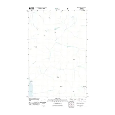
2011 Map of Prince Creek
USGS Topo · Published 2011About this map
Lake Chelan anchors the southwestern corner of this survey, where the Prince Creek Campground serves as a lone point of modern human activity along the shoreline. The land rises steeply from the water toward high-elevation landmarks such as Star Peak, Old Maid Mountain, and Vie Mountain. This high-altitude drainage system is defined by the branching paths of Prince Creek and its many tributaries, including the Middle Fork Prince Creek and East Fork Prince Creek.
Find a feature on this map
32 named features on this map. Tap any name to fly to it.
Don’t see what you’re looking for? This feature index may not catch every label — zoom into the map to look around manually.
Map Details
Editions of this 2011 Prince Creek Map
This is the sole edition of this map. No revisions or reprints were ever made.
Other maps of this area

1899 · Methow
USGS Topo · 1:125,000

1901 · Methow
USGS Topo · 1:125,000

1902 · Stehekin
USGS Topo · 1:125,000

1904 · Stehekin
USGS Topo · 1:125,000

1944 · Lucerne
USGS Topo · 1:62,500

1949 · Lucerne
USGS Topo · 1:62,500

1955 · Concrete
USGS Topo · 1:250,000

1958 · Concrete
USGS Topo · 1:250,000

1962 · Concrete
USGS Topo · 1:250,000

1968 · South Navarre Peak
USGS Topo · 1:24,000