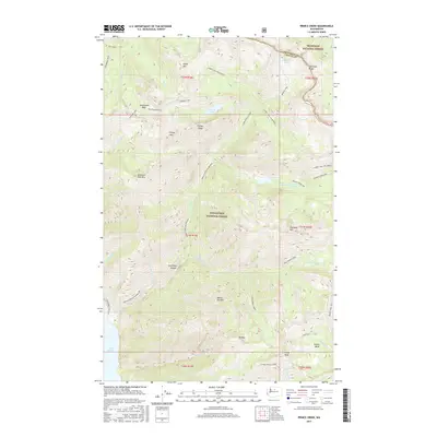
2017 Map of Prince Creek
USGS Topo · Published 2017About this map
Lake Chelan anchors the southwestern corner of this survey, where the deep waters meet a landscape dominated by the complex drainage systems of Prince Creek. This high-elevation wilderness terrain is defined by the Wenatchee National Forest and Okanogan National Forest, showing a network of glaciated basins and sharp ridges. Notable alpine features include the secluded Surprise Lake, Bernice Lake, and Cub Lake, all carved into the steep slopes above the creek forks.
Find a feature on this map
50 named features on this map. Tap any name to fly to it.
Don’t see what you’re looking for? This feature index may not catch every label — zoom into the map to look around manually.
Map Details
Editions of this 2017 Prince Creek Map
This is the sole edition of this map. No revisions or reprints were ever made.
Other maps of this area

1899 · Methow
USGS Topo · 1:125,000

1901 · Methow
USGS Topo · 1:125,000

1902 · Stehekin
USGS Topo · 1:125,000

1904 · Stehekin
USGS Topo · 1:125,000

1944 · Lucerne
USGS Topo · 1:62,500

1949 · Lucerne
USGS Topo · 1:62,500

1955 · Concrete
USGS Topo · 1:250,000

1958 · Concrete
USGS Topo · 1:250,000

1962 · Concrete
USGS Topo · 1:250,000

1968 · South Navarre Peak
USGS Topo · 1:24,000