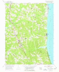
1953 Map of Prince Frederick
USGS Topo · Published 1977About this map
The county seat of Prince Frederick serves as the focal point of this coastal survey, where the Maryland interior meets the expansive Chesapeake Bay. In the mid-1950s, the landscape was defined by its tobacco-farming roots and community institutions, evidenced by the central placement of the County Hospital, Brooks High Sch, and County High Sch. The shoreline is characterized by distinct residential and recreational pockets like Scientists Cliffs, Dares Beach, and Breezy Point, contrasting with the deeply wooded ravines of the Parker Creek drainage. To the north, older rural centers such as Huntingtown and Plum Point are marked by their respective churches and schools, including Patuxent Ch and Plum Point Sch, reflecting a settlement pattern tied to the ridges above Hunting Creek.
Find a feature on this map
34 named features on this map. Tap any name to fly to it.
Don’t see what you’re looking for? This feature index may not catch every label — zoom into the map to look around manually.
Map Details
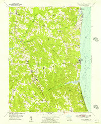
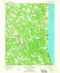
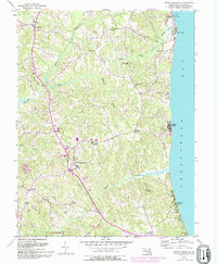
Editions of this 1953 Prince Frederick Map
4 editions found
Other maps of this area

1892 · Leonardtown
USGS Topo · 1:62,500

1892 · Drum Point
USGS Topo · 1:62,500

1892 · Prince Frederick
USGS Topo · 1:62,500

1893 · Sharps Island
USGS Topo · 1:62,500

1895 · Prince Frederick
USGS Topo · 1:62,500

1895 · Leonardtown
USGS Topo · 1:62,500

1895 · Nomini
USGS Topo · 1:125,000

1898 · Choptank
USGS Topo · 1:125,000

1898 · Nomini
USGS Topo · 1:125,000

1898 · St. Marys
USGS Topo · 1:125,000
Featured Places
- Prince Frederick, MD
- Hidden Valley, MD
- Chesapeake Heights on the Bay, MD
- Huntingfields Manor, MD
- Poplar Woods, MD