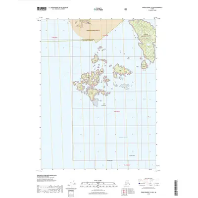
2018 Map of Prince Rupert D-5 NW
USGS Topo · Published 2018About this map
Annette Island Reserve and the southern reaches of the Tongass National Forest dominate this maritime survey of the Alexander Archipelago. The landscape is defined by a dense cluster of islands and rocky outcrops where the Pacific Ocean meets the treacherous waters of the Dixon Entrance. The Percy Islands, led by the prominent Point Percy, form a complex navigational maze alongside smaller landmasses like Cow Island and Werlick Island.
Find a feature on this map
17 named features on this map. Tap any name to fly to it.
Don’t see what you’re looking for? This feature index may not catch every label — zoom into the map to look around manually.
Map Details
Editions of this 2018 Prince Rupert D-5 NW Map
This is the sole edition of this map. No revisions or reprints were ever made.
Other maps of this area

1948 · Prince Rupert D-6
USGS Topo · 1:63,360

1948 · Ketchikan A-6
USGS Topo · 1:63,360

1951 · Prince Rupert
USGS Topo · 1:250,000

1951 · Prince Rupert D-6
USGS Topo · 1:63,360

1952 · Ketchikan
USGS Topo · 1:250,000

1955 · Ketchikan A-5
USGS Topo · 1:63,360
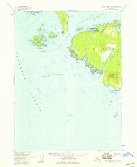
1955 · Prince Rupert D-5
USGS Topo · 1:63,360

1955 · Ketchikan
USGS Topo · 1:250,000

1959 · Prince Rupert
USGS Topo · 1:250,000

1964 · Prince Rupert
USGS Topo · 1:250,000