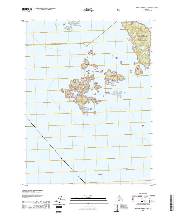
2021 Map of Prince Rupert D-5 NW
USGS Topo · Published 2021About this map
Annette Island and its surrounding archipelago define this maritime landscape along the southern reaches of the Alaska Panhandle. This coastal area is divided between the protected lands of the Annette Island Reserve and the expansive Tongass National Forest, illustrating a complex jurisdictional boundary in the Alexander Archipelago. The terrain is dominated by a scattering of islands and dangerous maritime hazards, from the prominent Percy Islands and Hotspur Island to isolated outcrops like East Bee Rock and West Bee Rock. Navigational landmarks such as Point Davidson and Point Percy anchor the northern and western approaches to the Sealed Passage, reflecting the importance of precise coastal mapping for those navigating the waters of the Pacific Ocean in these temperate rainforest environments.
Find a feature on this map
20 named features on this map. Tap any name to fly to it.
Don’t see what you’re looking for? This feature index may not catch every label — zoom into the map to look around manually.
Map Details
Editions of this 2021 Prince Rupert D-5 NW Map
This is the sole edition of this map. No revisions or reprints were ever made.
Other maps of this area

1948 · Prince Rupert D-6
USGS Topo · 1:63,360

1948 · Ketchikan A-6
USGS Topo · 1:63,360

1951 · Prince Rupert
USGS Topo · 1:250,000

1951 · Prince Rupert D-6
USGS Topo · 1:63,360

1952 · Ketchikan
USGS Topo · 1:250,000

1955 · Ketchikan A-5
USGS Topo · 1:63,360
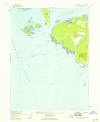
1955 · Prince Rupert D-5
USGS Topo · 1:63,360

1955 · Ketchikan
USGS Topo · 1:250,000

1959 · Prince Rupert
USGS Topo · 1:250,000

1964 · Prince Rupert
USGS Topo · 1:250,000